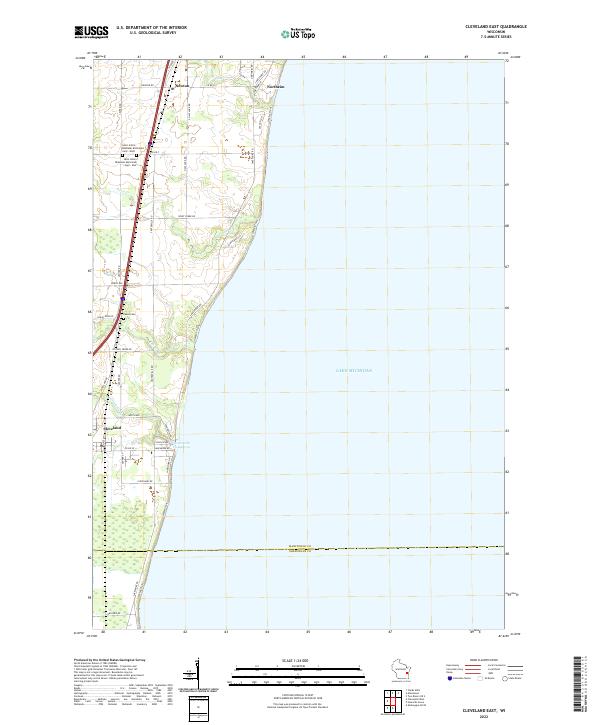
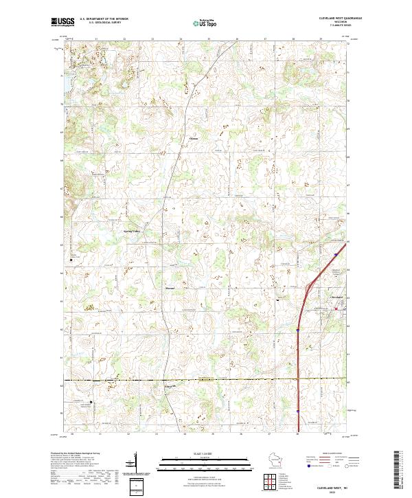
2022 Map of Cleveland East
USGS Topo · Published 2022About this map
Cleveland and the rural townships of t17n r23e and t18n r23e sit along the Lake Michigan shoreline, where small watercourses like Point Cr and Fischer Cr carve narrow paths toward the coast. The landscape is defined by its agricultural grid and the legacy of early German Reformed congregations, evidenced by the dual sites of Saint John's Ebenezer Reformed Cem - West and Saint John's Ebenezer Reformed Cem - East north of Cleveland. This modern survey documents the interface between the expanding residential footprints of Northeim and Newton and the conserved shoreline, including the Centerville Flowage. The map illustrates how historic county roads like Co Rd XX and Co Rd U continue to serve as the primary arteries for this coastal Manitowoc County community.
Find a feature on this map
43 named features on this map. Tap any name to fly to it.
Don’t see what you’re looking for? This feature index may not catch every label — zoom into the map to look around manually.
Map Details
Editions of this 2022 Cleveland East Map
This is the sole edition of this map. No revisions or reprints were ever made.
Historical Maps of Newton Through Time
12 maps found
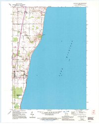
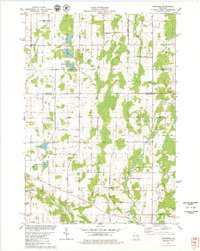
1954 Cleveland East
Manitowoc County, WI
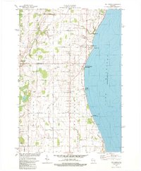
1954 Cleveland West
Manitowoc County, WI
1954 School Hill
Manitowoc County, WI
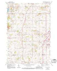
1978 Larrabee
Manitowoc County, WI
1978 Two Creeks
Manitowoc County, WI
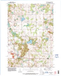
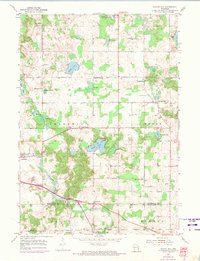
1992 School Hill
Manitowoc County, WI
2022 Cleveland East
Manitowoc County, WI
2022 Cleveland West
Manitowoc County, WI
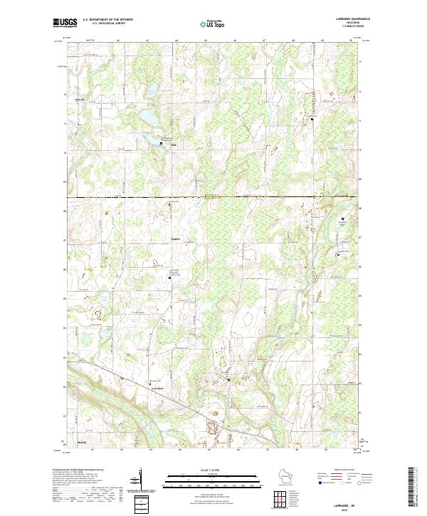
2022 Larrabee
Manitowoc County, WI
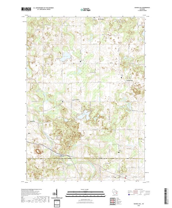
2022 School Hill
Manitowoc County, WI
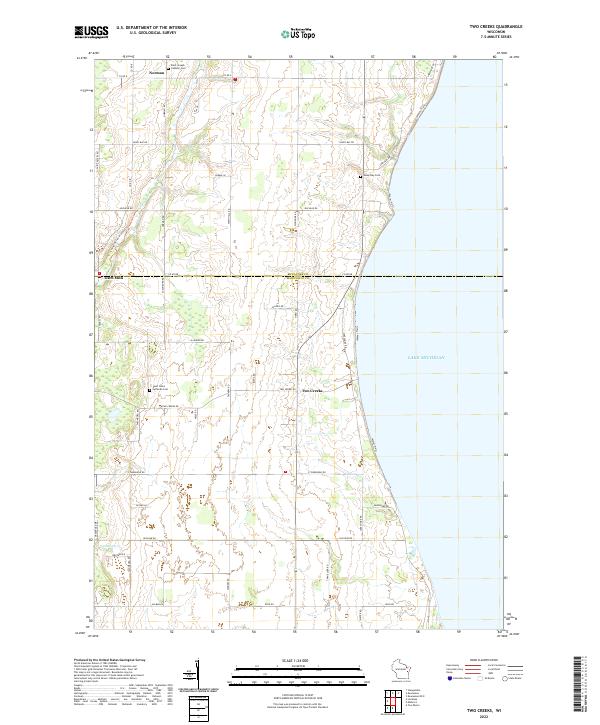
2022 Two Creeks
Manitowoc County, WI
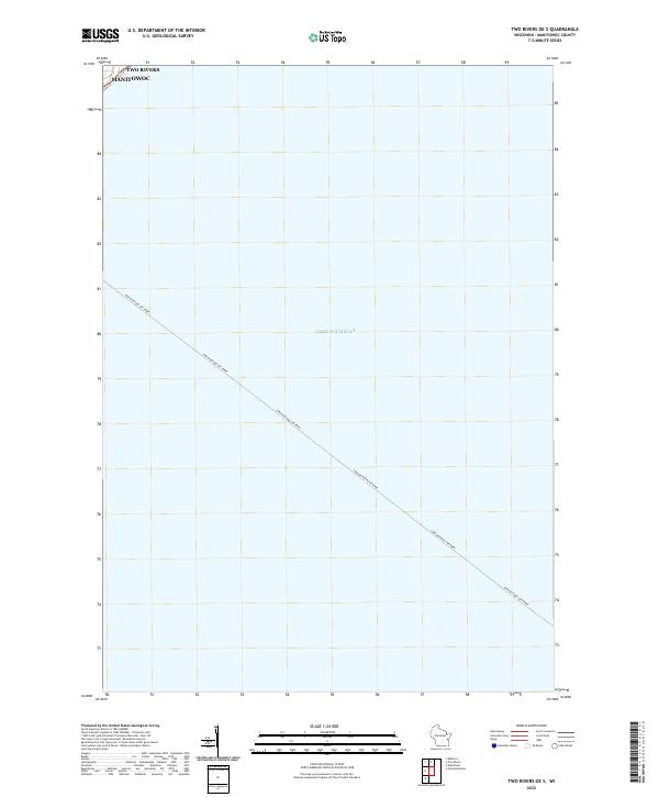
2022 Two Rivers OE S
Manitowoc County, WI