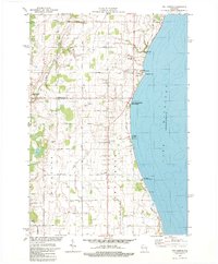
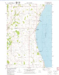
1978 Map of Two Creeks
USGS Topo · Published 1979About this map
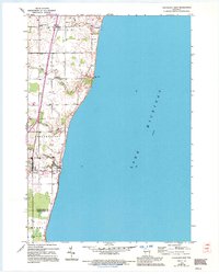
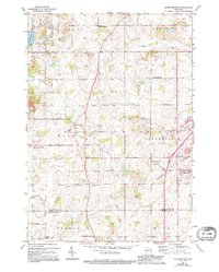
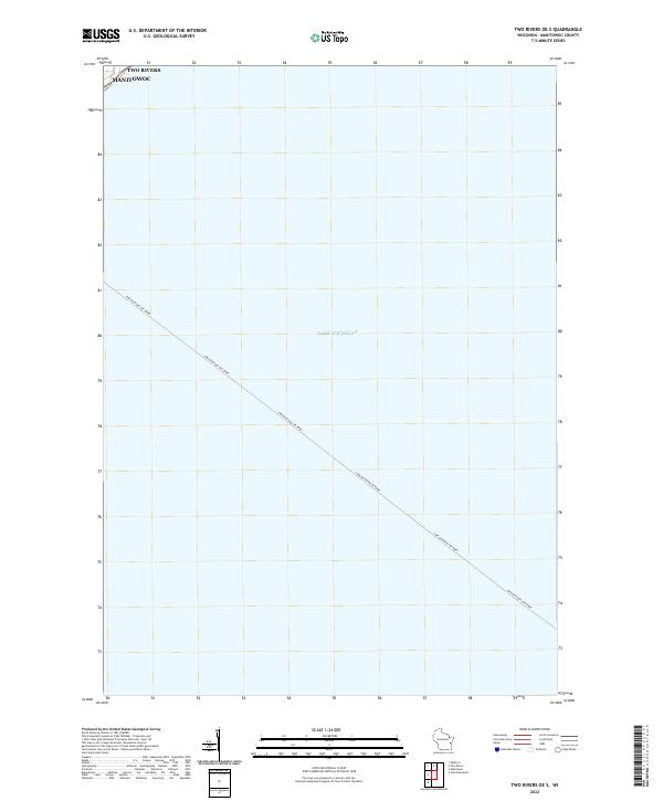
The Lake Michigan shoreline in the late 1970s is defined by a unique combination of modern industrial infrastructure and ancient geological preserves. This coastline features both the Kewaunee Nuclear Powerplant and the Point Beach Nuclear Powerplant, marking the region's role in the era's energy production. Between these facilities lies the Two Creeks Buried State Forest, a site of international significance for understanding the glacial history of North America. Inland, the landscape of Carlton and Two Creeks is a grid of agricultural roads, many bearing family names like Assman Road and Meyer Road. Small crossroads communities such as Tisch Mills, Norman, and Zander serve as local anchors, while the East Twin River winds through the western terrain. Genealogists will find the locations of St Johns Cem and Sandy Bay Cem particularly useful for tracing local family roots.
Find a feature on this map
39 named features on this map. Tap any name to fly to it.
Don’t see what you’re looking for? This feature index may not catch every label — zoom into the map to look around manually.
Map Details
Editions of this 1978 Two Creeks Map
2 editions found
Historical Maps of Two Creeks Through Time
12 maps found
1954 Cleveland East
Manitowoc County, WI
1954 Cleveland West
Manitowoc County, WI
1954 School Hill
Manitowoc County, WI
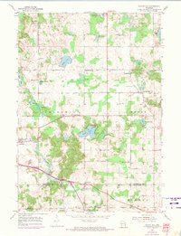
1978 Larrabee
Manitowoc County, WI
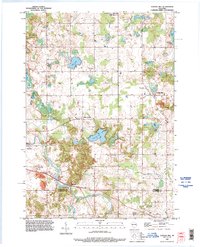
1978 Two Creeks
Manitowoc County, WI
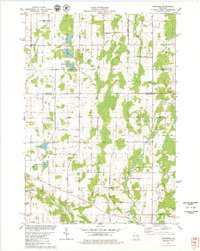
1992 School Hill
Manitowoc County, WI
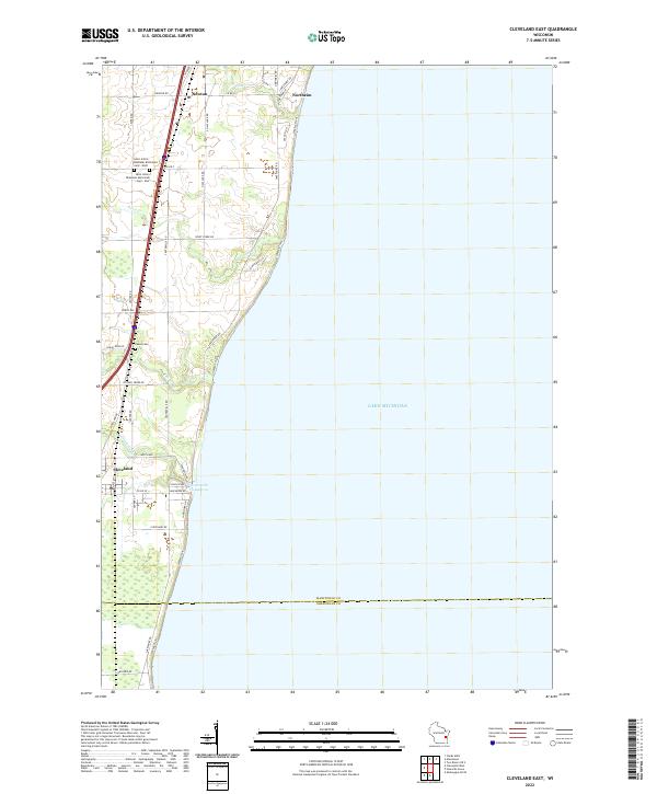
2022 Cleveland East
Manitowoc County, WI
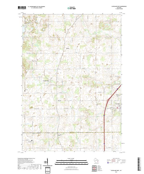
2022 Cleveland West
Manitowoc County, WI
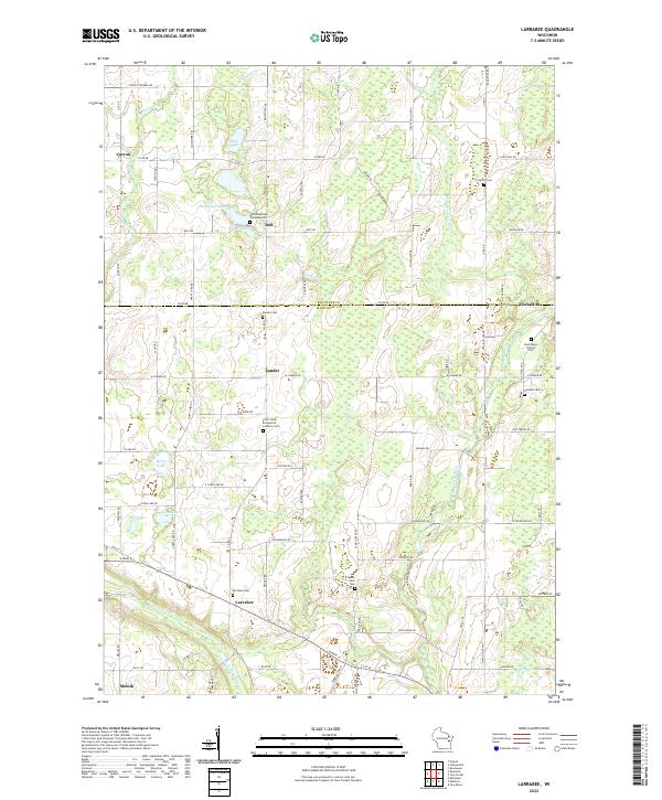
2022 Larrabee
Manitowoc County, WI
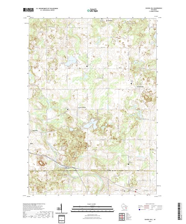
2022 School Hill
Manitowoc County, WI
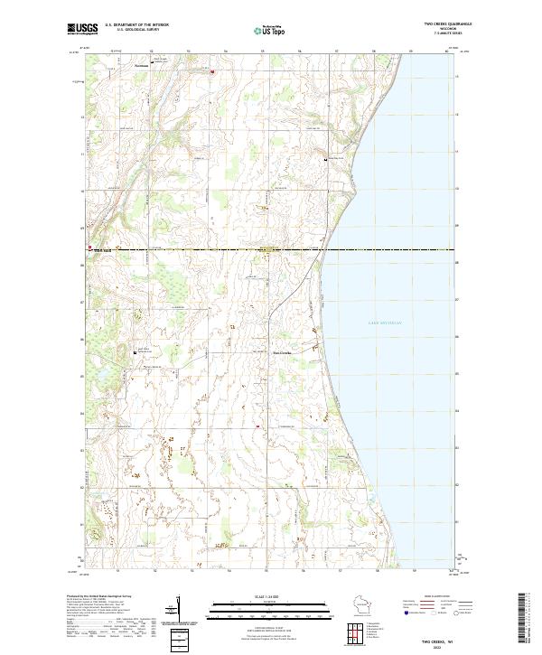
2022 Two Creeks
Manitowoc County, WI
2022 Two Rivers OE S
Manitowoc County, WI