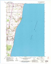
1954 Map of Cleveland East
USGS Topo · Published 1995About this map
Newton stands as the primary hub of activity in this coastal Wisconsin landscape during the mid-1950s. Located in Manitowoc County, the small settlement serves as a focal point for the surrounding rural area, which transition from agricultural fields to the expansive shoreline of Lake Michigan. This survey highlights the spatial relationship between the inland farming community and the lake's edge, documenting the road networks and land use patterns that defined this region prior to later 20th-century developments. The map provides a clear look at how human habitation clustered around the local infrastructure and the natural boundary formed by the Great Lakes coast.
Find a feature on this map
1 named feature on this map. Tap any name to fly to it.
Don’t see what you’re looking for? This feature index may not catch every label — zoom into the map to look around manually.
Map Details
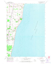
Editions of this 1954 Cleveland East Map
3 editions found
Other maps of this area

1954 · Manitowoc
USGS Topo · 1:62,500

1954 · Cleveland
USGS Topo · 1:24,000

1954 · St. Wendel
USGS Topo · 1:24,000

1954 · Sheboygan North
USGS Topo · 1:62,500

1954 · Sheboygan North
USGS Topo · 1:24,000

1954 · Howards Grove
USGS Topo · 1:62,500

1954 · Howards Grove
USGS Topo · 1:24,000

1954 · Reedsville
USGS Topo · 1:62,500

1954 · Manitowoc
USGS Topo · 1:24,000

1954 · Milwaukee
USGS Topo · 1:250,000