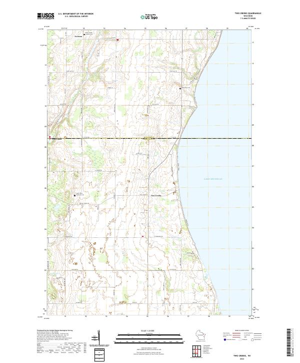
2022 Map of Two Creeks
USGS Topo · Published 2022About this map
Lake Michigan forms the eastern boundary of this coastal landscape, where the rural townships of Manitowoc and Kewaunee counties meet. The settlement of Two Creeks sits near the lakeshore, while inland, the Ice Age National Scenic Trail winds through the terrain near Tisch Mills. This map documents a high concentration of local family history markers and burial grounds, including Saint Joseph Catholic Cem in Norman and Saint Johns Lutheran Cem further south.
Find a feature on this map
48 named features on this map. Tap any name to fly to it.
Don’t see what you’re looking for? This feature index may not catch every label — zoom into the map to look around manually.
Map Details
Editions of this 2022 Two Creeks Map
This is the sole edition of this map. No revisions or reprints were ever made.
Historical Maps of Two Creeks Through Time
12 maps found
1954 Cleveland East
Manitowoc County, WI
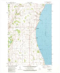
1954 Cleveland West
Manitowoc County, WI
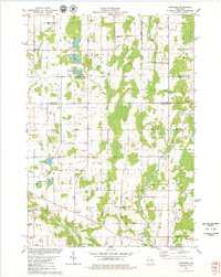
1954 School Hill
Manitowoc County, WI
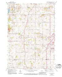
1978 Larrabee
Manitowoc County, WI
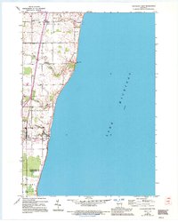
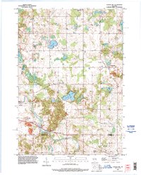
1978 Two Creeks
Manitowoc County, WI
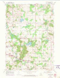
1992 School Hill
Manitowoc County, WI
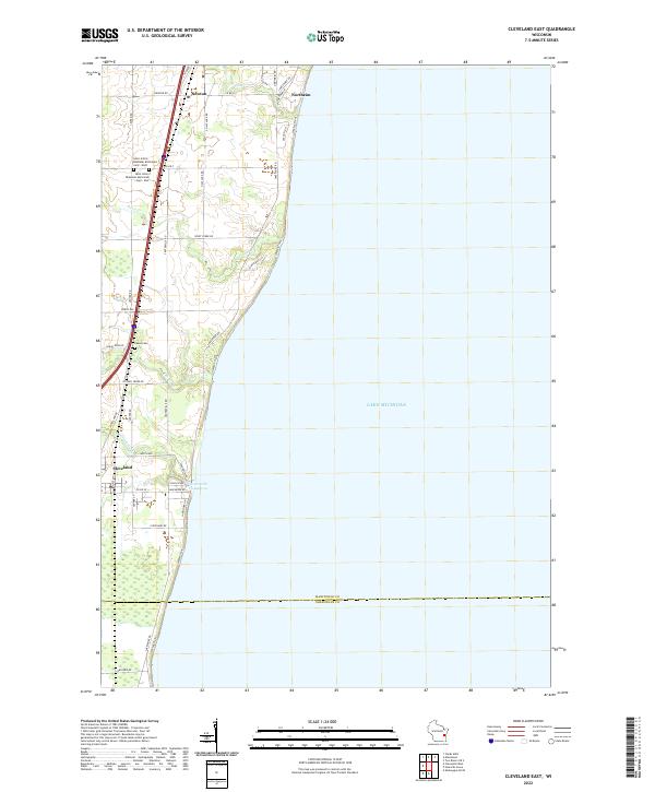
2022 Cleveland East
Manitowoc County, WI
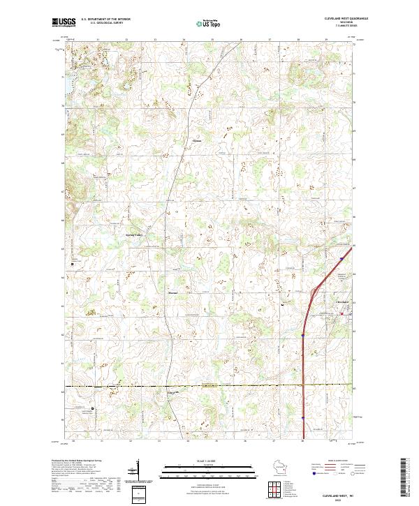
2022 Cleveland West
Manitowoc County, WI
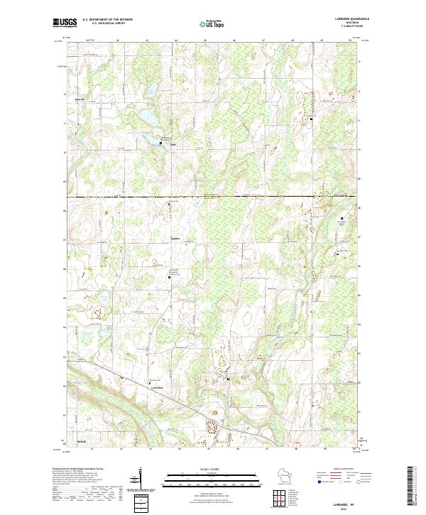
2022 Larrabee
Manitowoc County, WI
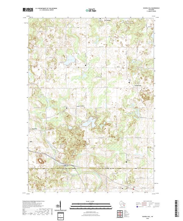
2022 School Hill
Manitowoc County, WI
2022 Two Creeks
Manitowoc County, WI
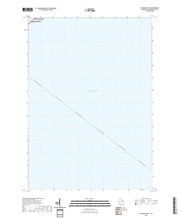
2022 Two Rivers OE S
Manitowoc County, WI