2014 Map of Cleveland NW
USGS Topo · Published 2014About this map
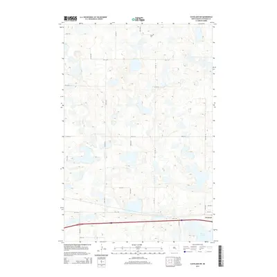
Stutsman Co and Kidder Co meet in this 2014 survey of the central North Dakota prairie, where a complex network of glacial potholes and wetlands dominates the terrain. The small community of Cleveland sits in the southeastern corner of the quadrangle, serving as a focal point along the transportation corridor that includes Interstate 94. The landscape is defined by the high density of small water bodies and sloughs, most notably Runner Slough in the southeast. For genealogists and local historians, the Homes Cem is a significant landmark located in the northern portion of the map. The area is gridded by a methodical road system, including 29th St SE and 62nd Ave SE, which navigate the countless depressions and rises of this distinctive prairie pothole region.
Find a feature on this map
20 named features on this map. Tap any name to fly to it.
Don’t see what you’re looking for? This feature index may not catch every label — zoom into the map to look around manually.
Map Details
Editions of this 2014 Cleveland NW Map
This is the sole edition of this map. No revisions or reprints were ever made.
Other maps of this area

1952 · New Rockford
USGS Topo · 1:250,000

1953 · Jamestown
USGS Topo · 1:250,000

1953 · Cleveland SE
USGS Topo · 1:24,000

1953 · Cleveland
USGS Topo · 1:24,000

1953 · Cleveland SW
USGS Topo · 1:24,000

1954 · Cleveland NW
USGS Topo · 1:24,000

1954 · Medina
USGS Topo · 1:24,000

1955 · Medina SE
USGS Topo · 1:24,000

1956 · New Rockford
USGS Topo · 1:250,000

1956 · Jamestown
USGS Topo · 1:250,000