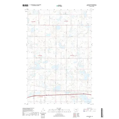
2017 Map of Cleveland NW
USGS Topo · Published 2017About this map
Homes Cem stands as a quiet landmark in the northern reaches of this North Dakota landscape, a site of genealogical significance within the prairie terrain of Stutsman County. The region is defined by an intricate network of wetlands and small water bodies, with Runner Slough anchoring the southeastern corner. This survey documents the intersection of several townships, including t141n r67w and t140n r68w, illustrating the organized grid of the Public Land Survey System that governs the local geography. A series of section-line roads, such as 33rd St SE and 60th Ave SE, provide a structured framework for the agricultural lands and scattered homesteads. Major local arteries like Co Hwy 68 and Co Rd 39 cut through the sections, reflecting the enduring rural infrastructure of the early 21st century.
Find a feature on this map
25 named features on this map. Tap any name to fly to it.
Don’t see what you’re looking for? This feature index may not catch every label — zoom into the map to look around manually.
Map Details
Editions of this 2017 Cleveland NW Map
This is the sole edition of this map. No revisions or reprints were ever made.
Other maps of this area

1952 · New Rockford
USGS Topo · 1:250,000

1953 · Jamestown
USGS Topo · 1:250,000

1953 · Cleveland SE
USGS Topo · 1:24,000

1953 · Cleveland
USGS Topo · 1:24,000

1953 · Cleveland SW
USGS Topo · 1:24,000

1954 · Cleveland NW
USGS Topo · 1:24,000

1954 · Medina
USGS Topo · 1:24,000

1955 · Medina SE
USGS Topo · 1:24,000

1956 · New Rockford
USGS Topo · 1:250,000

1956 · Jamestown
USGS Topo · 1:250,000