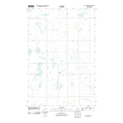
2011 Map of Cleveland SE
USGS Topo · Published 2011About this map
Mount Pleasant rises above a glaciated landscape defined by an extensive network of prairie potholes and wetlands in Stutsman County. The township layout is governed by a strict grid of gravel and section-line roads, including 67th Ave SE and 42nd St SE, which navigate around a complex series of water bodies. Large basins such as Moon Lake, Olson Slough, and Weber Slough dominate the terrain, reflecting the typical drainage patterns of the Missouri Coteau region. In the southern portion of the quadrangle, Beaver Creek and the connected waters of North Brooks Slough and South Brooks Slough illustrate the subtle, slow-moving hydrology of the North Dakota plains. The map preserves the exact locations of many family-named landmarks like Sinclair Slough and Jaff Slough, providing a valuable reference for those documenting land use and local geography in this rural environment.
Find a feature on this map
23 named features on this map. Tap any name to fly to it.
Don’t see what you’re looking for? This feature index may not catch every label — zoom into the map to look around manually.
Map Details
Editions of this 2011 Cleveland SE Map
This is the sole edition of this map. No revisions or reprints were ever made.
Other maps of this area

1896 · Jamestown
USGS Topo · 1:125,000

1951 · Eldridge NW
USGS Topo · 1:24,000

1952 · Jud NW
USGS Topo · 1:24,000

1952 · Eldridge SW
USGS Topo · 1:24,000

1953 · Jamestown
USGS Topo · 1:250,000

1953 · Cleveland SE
USGS Topo · 1:24,000

1953 · Cleveland
USGS Topo · 1:24,000

1953 · Cleveland SW
USGS Topo · 1:24,000

1954 · Cleveland NW
USGS Topo · 1:24,000

1956 · Jamestown
USGS Topo · 1:250,000