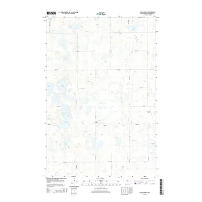
2014 Map of Cleveland SE
USGS Topo · Published 2014About this map
Glacial depressions and marshy lowlands dominate this section of Stutsman County, where the landscape is defined by an intricate network of wetlands known locally as sloughs. Large water bodies such as Moon Lake in the northeast and a series of interconnected basins including N Brooks Slough, S Brooks Slough, and Sinclair Slough illustrate the prairie pothole topography of the region. The terrain is relatively uniform, rising toward Mt Pleasant near the center of the quadrangle. Human presence is marked by a precise grid of rural roads and the small L Seckerson Airstrip located in the eastern portion of the sheet. Drainage for the area is facilitated by the winding course of Beaver Cr, which cuts through the southeastern quadrant. This survey reflects the agricultural character of North Dakota in the early 21st century, where large-scale land management must account for these seasonal and permanent water features.
Find a feature on this map
26 named features on this map. Tap any name to fly to it.
Don’t see what you’re looking for? This feature index may not catch every label — zoom into the map to look around manually.
Map Details
Editions of this 2014 Cleveland SE Map
This is the sole edition of this map. No revisions or reprints were ever made.
Other maps of this area

1896 · Jamestown
USGS Topo · 1:125,000

1951 · Eldridge NW
USGS Topo · 1:24,000

1952 · Jud NW
USGS Topo · 1:24,000

1952 · Eldridge SW
USGS Topo · 1:24,000

1953 · Jamestown
USGS Topo · 1:250,000

1953 · Cleveland SE
USGS Topo · 1:24,000

1953 · Cleveland
USGS Topo · 1:24,000

1953 · Cleveland SW
USGS Topo · 1:24,000

1954 · Cleveland NW
USGS Topo · 1:24,000

1956 · Jamestown
USGS Topo · 1:250,000