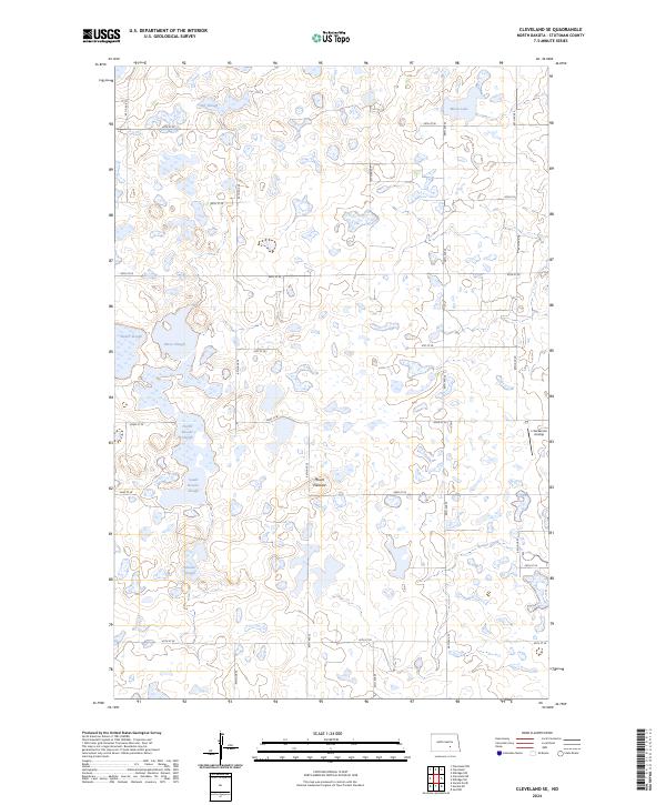
2024 Map of Cleveland SE
USGS Topo · Published 2024About this map
Stutsman County Waterfowl Production Area parcels dominate this North Dakota landscape, revealing a high-plains geography defined by glacial depressions and wetlands. The terrain is a complex network of internal drainage basins, including Moon Lake, Jaff Slough, and the interconnected North Brooks and South Brooks Slough. These water bodies are vital ecological nodes within the larger prairie pothole region. Small-scale aviation and agriculture are the primary human imprints, with the L Seckerson Airstrip and a grid of secondary roads like 67th Ave SE providing access to the section lines. The presence of Mount Pleasant offers a rare point of elevation amidst the sloughs, while Beaver Creek provides a natural drainage corridor through the southeastern corner of the quadrangle.
Find a feature on this map
29 named features on this map. Tap any name to fly to it.
Don’t see what you’re looking for? This feature index may not catch every label — zoom into the map to look around manually.
Map Details
Editions of this 2024 Cleveland SE Map
This is the sole edition of this map. No revisions or reprints were ever made.
Other maps of this area

1896 · Jamestown
USGS Topo · 1:125,000

1951 · Eldridge NW
USGS Topo · 1:24,000

1952 · Jud NW
USGS Topo · 1:24,000

1952 · Eldridge SW
USGS Topo · 1:24,000

1953 · Jamestown
USGS Topo · 1:250,000

1953 · Cleveland SE
USGS Topo · 1:24,000

1953 · Cleveland
USGS Topo · 1:24,000

1953 · Cleveland SW
USGS Topo · 1:24,000

1954 · Cleveland NW
USGS Topo · 1:24,000

1956 · Jamestown
USGS Topo · 1:250,000