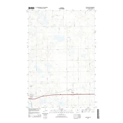
2014 Map of Cleveland
USGS Topo · Published 2014About this map
The settlement of Cleveland anchors the southwestern corner of this Stutsman County landscape, situated along the southern transportation corridor that includes Front St and the local Post Office. Just to the east, the smaller community of Windsor sits near the Saint Pauline Cem, illustrating the sparse but deliberate distribution of 21st-century prairie towns. The terrain is defined by a dense network of seasonal wetlands and small basins typical of the region, including Bair Lake, Bair Slough, and Runner Slough. Rising above the surrounding depressions, Terpena Hill provides a rare point of elevation in an otherwise gently undulating environment. Drainage follows subtle paths like Minneapolis Flats Cr in the east, while a rigid grid of section-line roads, such as 65th Ave SE and 30th St SE, dictates the human movement across this agricultural expanse.
Find a feature on this map
31 named features on this map. Tap any name to fly to it.
Don’t see what you’re looking for? This feature index may not catch every label — zoom into the map to look around manually.
Map Details
Editions of this 2014 Cleveland Map
This is the sole edition of this map. No revisions or reprints were ever made.
Other maps of this area

1896 · Jamestown
USGS Topo · 1:125,000

1900 · Pingree
USGS Topo · 1:125,000

1900 · Pingree
USGS Topo · 1:62,500

1951 · Eldridge NW
USGS Topo · 1:24,000

1952 · Pingree SW
USGS Topo · 1:24,000

1952 · Eldridge SW
USGS Topo · 1:24,000

1952 · New Rockford
USGS Topo · 1:250,000

1953 · Jamestown
USGS Topo · 1:250,000

1953 · Cleveland SE
USGS Topo · 1:24,000

1953 · Cleveland
USGS Topo · 1:24,000