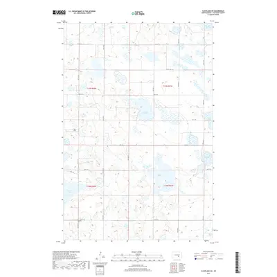
2017 Map of Cleveland SW
USGS Topo · Published 2017About this map
The prairie pothole region of Stutsman County is defined here by a dense concentration of wetlands and seasonal water bodies typical of the North Dakota plains. Scattered across the township sections are numerous named depressions, including Trautman Slough, Runner Slough, and Balch Slough, which dominate the hydrology south of the local agricultural grid. These natural features shaped the early settlement patterns and road placements, such as Co Hwy 68, as farmers navigated around the often-saturated terrain.
Find a feature on this map
25 named features on this map. Tap any name to fly to it.
Don’t see what you’re looking for? This feature index may not catch every label — zoom into the map to look around manually.
Map Details
Editions of this 2017 Cleveland SW Map
This is the sole edition of this map. No revisions or reprints were ever made.
Other maps of this area

1953 · Jamestown
USGS Topo · 1:250,000

1953 · Cleveland SE
USGS Topo · 1:24,000

1953 · Cleveland
USGS Topo · 1:24,000

1953 · Cleveland SW
USGS Topo · 1:24,000

1954 · Cleveland NW
USGS Topo · 1:24,000

1954 · Medina
USGS Topo · 1:24,000

1955 · Medina SE
USGS Topo · 1:24,000

1956 · Jamestown
USGS Topo · 1:250,000

1983 · Streeter
USGS Topo · 1:24,000

1983 · Gackle North
USGS Topo · 1:24,000