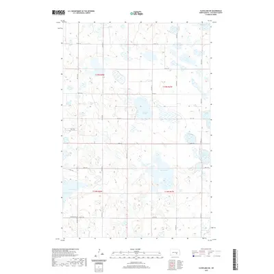
2020 Map of Cleveland SW
USGS Topo · Published 2020About this map
Friedens Cem serves as a quiet landmark in this prairie landscape of Stutsman County, dominated by the intricate hydrology of the Missouri Coteau. This region is characterized by countless small depressions and seasonal water bodies, including Balch Slough, Trautman Slough, and School Lake. The map reveals a highly structured grid of section lines and rural roads such as Co HWY 68 and 58th Ave SE, which define the agricultural boundaries of the area. The prevalence of named sloughs, such as Runner Slough and Thornton Slough, highlights the importance of these prairie potholes to the local ecosystem and land use. The presence of Rau Field suggests the integration of aviation or specific agricultural clearings within the township structure of T138N and T139N, reflecting the modern management of this rural North Dakota terrain.
Find a feature on this map
27 named features on this map. Tap any name to fly to it.
Don’t see what you’re looking for? This feature index may not catch every label — zoom into the map to look around manually.
Map Details
Editions of this 2020 Cleveland SW Map
This is the sole edition of this map. No revisions or reprints were ever made.
Other maps of this area

1953 · Jamestown
USGS Topo · 1:250,000

1953 · Cleveland SE
USGS Topo · 1:24,000

1953 · Cleveland
USGS Topo · 1:24,000

1953 · Cleveland SW
USGS Topo · 1:24,000

1954 · Cleveland NW
USGS Topo · 1:24,000

1954 · Medina
USGS Topo · 1:24,000

1955 · Medina SE
USGS Topo · 1:24,000

1956 · Jamestown
USGS Topo · 1:250,000

1983 · Streeter
USGS Topo · 1:24,000

1983 · Gackle North
USGS Topo · 1:24,000