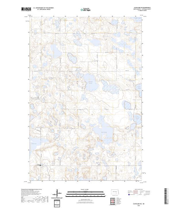
2024 Map of Cleveland SW
USGS Topo · Published 2024About this map
Stutsman County Waterfowl Production Area dominates the landscape of this Stutsman County quadrant, reflecting the region's character as a sanctuary for migratory birds. The terrain is defined by numerous prairie potholes and wetlands, including School Lake, Balch Slough, and Thornton Slough. These water bodies are interspersed with a rigid grid of rural roads like 43rd St SE and 45th St SE, which divide the agricultural land and prairie. Evidence of the area's early German-settler heritage is preserved at Friedens Cem in the southwestern corner. Small aviation activity is noted at Rau Field, while other water features like Runner Slough, Trautman Slough, and Weber Slough further illustrate the hydrologic complexity of the North Dakota plains in the mid-2020s.
Find a feature on this map
21 named features on this map. Tap any name to fly to it.
Don’t see what you’re looking for? This feature index may not catch every label — zoom into the map to look around manually.
Map Details
Editions of this 2024 Cleveland SW Map
This is the sole edition of this map. No revisions or reprints were ever made.
Other maps of this area

1953 · Jamestown
USGS Topo · 1:250,000

1953 · Cleveland SE
USGS Topo · 1:24,000

1953 · Cleveland
USGS Topo · 1:24,000

1953 · Cleveland SW
USGS Topo · 1:24,000

1954 · Cleveland NW
USGS Topo · 1:24,000

1954 · Medina
USGS Topo · 1:24,000

1955 · Medina SE
USGS Topo · 1:24,000

1956 · Jamestown
USGS Topo · 1:250,000

1983 · Streeter
USGS Topo · 1:24,000

1983 · Gackle North
USGS Topo · 1:24,000