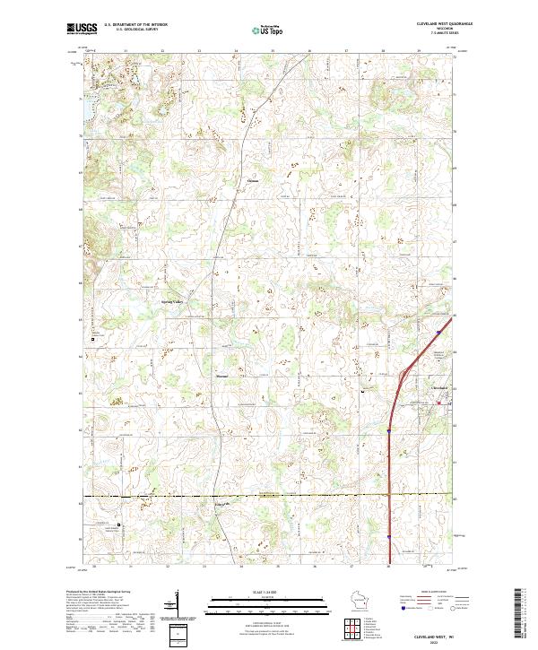
2022 Map of Cleveland West
USGS Topo · Published 2022About this map
Meeme River and its various tributaries, including Meeme Cr and Centerville Cr, define the drainage of this rural landscape spanning the border of Manitowoc and Sheboygan counties. The area is characterized by small, established agricultural hamlets such as Osman, Spring Valley, Meeme, and Edwards. Local history and genealogy are well-represented by several burial grounds, including the Meeme Center Cem, Saxon Cem, and Saint Joseph's Catholic Cem.
Find a feature on this map
71 named features on this map. Tap any name to fly to it.
Don’t see what you’re looking for? This feature index may not catch every label — zoom into the map to look around manually.
Map Details
Editions of this 2022 Cleveland West Map
This is the sole edition of this map. No revisions or reprints were ever made.
Historical Maps of Newton Through Time
12 maps found
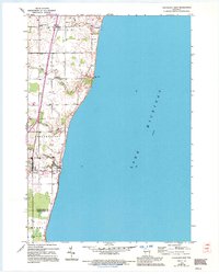
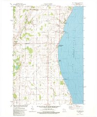
1954 Cleveland East
Manitowoc County, WI
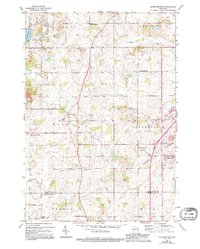
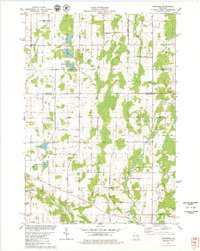
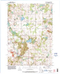
1954 Cleveland West
Manitowoc County, WI
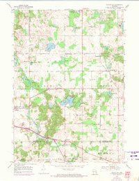
1954 School Hill
Manitowoc County, WI
1978 Larrabee
Manitowoc County, WI
1978 Two Creeks
Manitowoc County, WI
1992 School Hill
Manitowoc County, WI
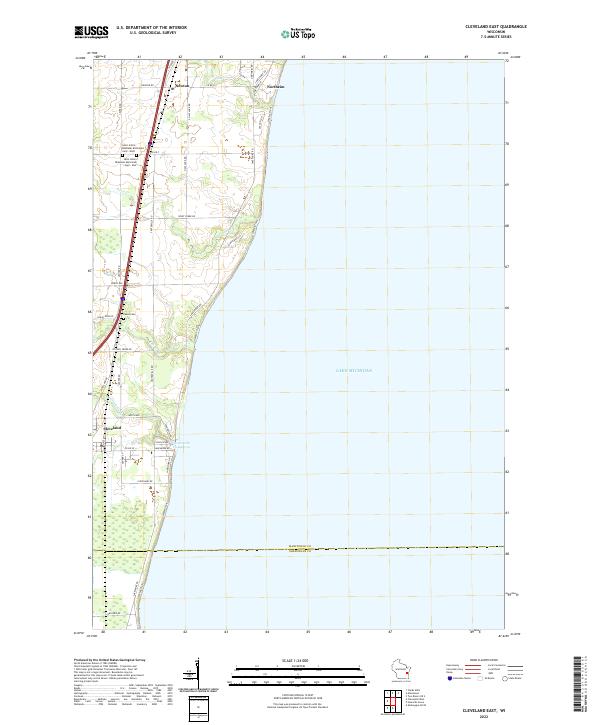
2022 Cleveland East
Manitowoc County, WI
2022 Cleveland West
Manitowoc County, WI
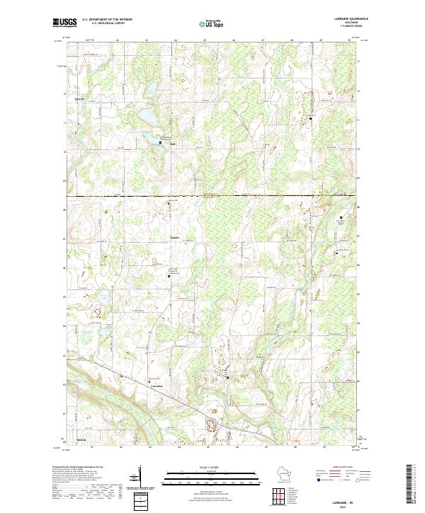
2022 Larrabee
Manitowoc County, WI
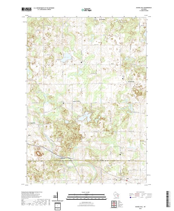
2022 School Hill
Manitowoc County, WI
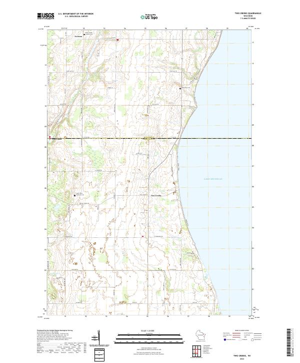
2022 Two Creeks
Manitowoc County, WI
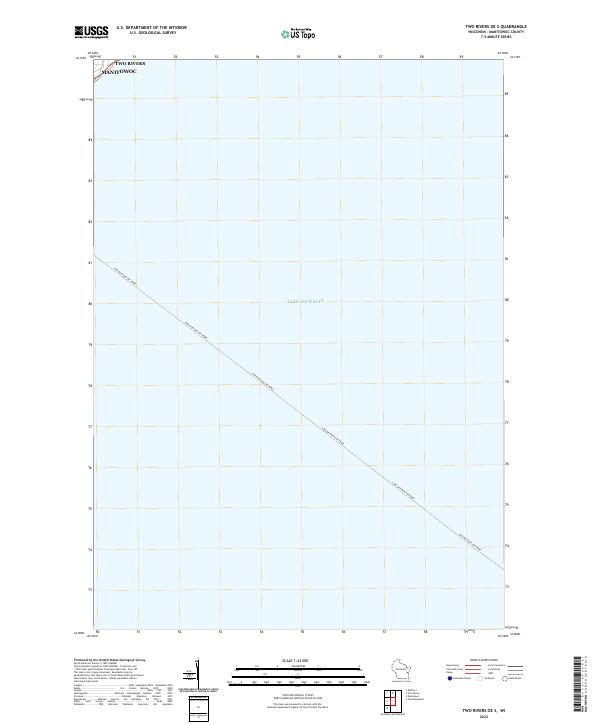
2022 Two Rivers OE S
Manitowoc County, WI