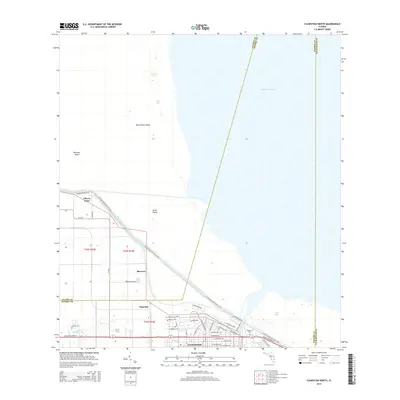
2015 Map of Clewiston North
USGS Topo · Published 2015About this map
Clewiston sits at the southwestern edge of Lake Okeechobee, serving as a primary point of interface between the land and the vast interior waters of Florida. The city's residential layout, characterized by streets like Ponce de Leon Ave and Royal Palm Ave, terminates abruptly at the massive Herbert Hoover Dyke, an engineering marvel that separates the developed town from the lake's marshy reaches. Just outside the main settlement, the smaller communities of Sugarton and Shawnee indicate the region's agricultural roots and planned expansion.
Find a feature on this map
50 named features on this map. Tap any name to fly to it.
Don’t see what you’re looking for? This feature index may not catch every label — zoom into the map to look around manually.
Map Details
Editions of this 2015 Clewiston North Map
This is the sole edition of this map. No revisions or reprints were ever made.
Other maps of this area

1956 · West Palm Beach
USGS Topo · 1:250,000

1957 · West Palm Beach
USGS Topo · 1:250,000

1958 · West Palm Beach
USGS Topo · 1:250,000

1970 · Lake Harbor
USGS Topo · 1:24,000

1970 · Moore Haven
USGS Topo · 1:24,000

1970 · Clewiston South
USGS Topo · 1:24,000

1970 · La Belle 4 NE
USGS Topo · 1:24,000
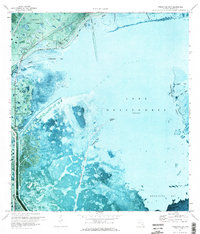
1971 · Fisheating Bay
USGS Topo · 1:24,000
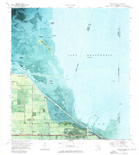
1971 · Clewiston North
USGS Topo · 1:24,000
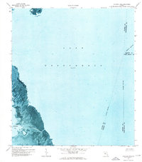
1971 · Cochrans Pass
USGS Topo · 1:24,000