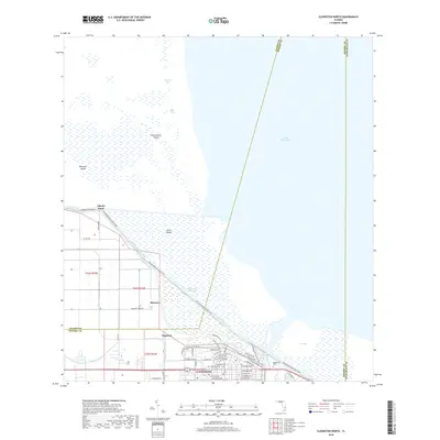
2018 Map of Clewiston North
USGS Topo · Published 2018About this map
Lake Okeechobee dominates the northern half of this landscape, its shoreline defined by the massive Herbert Hoover Dike and the interior passage of the Okeechobee Waterway. Along the southern rim, the town of Clewiston sits at the nexus of local commerce and water management, flanked by the smaller settlements of Sugarton and Shawnee. This 2018 survey illustrates the complex intersection of South Florida's water infrastructure and residential growth, showing the residential street grids of Clewiston extending toward the Ninemile Canal. Within the lake itself, distinct landforms like Observation Island, Boomers Island, and Grass Island emerge from the marshy shallows. The map also traces the path of the Florida National Scenic Trail as it follows the levee, providing a clear view of the transition from the developed town centers to the open water of Coot Bay.
Find a feature on this map
57 named features on this map. Tap any name to fly to it.
Don’t see what you’re looking for? This feature index may not catch every label — zoom into the map to look around manually.
Map Details
Editions of this 2018 Clewiston North Map
This is the sole edition of this map. No revisions or reprints were ever made.
Other maps of this area

1956 · West Palm Beach
USGS Topo · 1:250,000

1957 · West Palm Beach
USGS Topo · 1:250,000

1958 · West Palm Beach
USGS Topo · 1:250,000

1970 · Lake Harbor
USGS Topo · 1:24,000

1970 · Moore Haven
USGS Topo · 1:24,000

1970 · Clewiston South
USGS Topo · 1:24,000

1970 · La Belle 4 NE
USGS Topo · 1:24,000
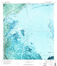
1971 · Fisheating Bay
USGS Topo · 1:24,000
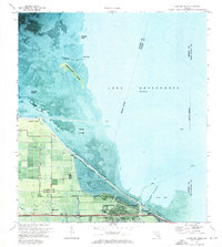
1971 · Clewiston North
USGS Topo · 1:24,000
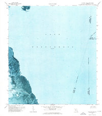
1971 · Cochrans Pass
USGS Topo · 1:24,000