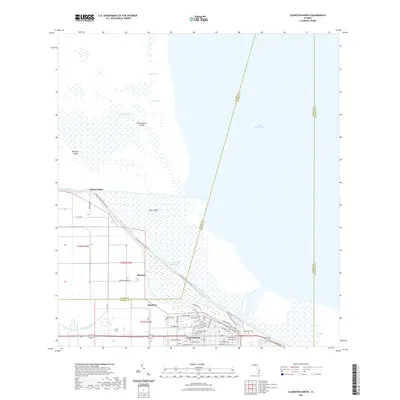
2021 Map of Clewiston North
USGS Topo · Published 2021About this map
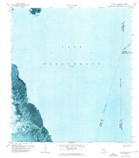
Clewiston sits at the southern edge of this survey where the Florida interior meets the expansive waters of Lake Okeechobee. The landscape is defined by human engineering designed to manage the Everglades, notably the Rim Canal and the Okeechobee Waterway which cuts through the marshes. Inland, small settlements like Sugarton and Shawnee are surrounded by organized agricultural plots and local infrastructure such as Ninemile Canal and Shawnee Farms Rd.
Find a feature on this map
51 named features on this map. Tap any name to fly to it.
Don’t see what you’re looking for? This feature index may not catch every label — zoom into the map to look around manually.
Map Details
Editions of this 2021 Clewiston North Map
This is the sole edition of this map. No revisions or reprints were ever made.
Other maps of this area

1956 · West Palm Beach
USGS Topo · 1:250,000

1957 · West Palm Beach
USGS Topo · 1:250,000
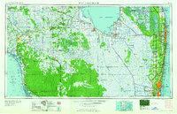
1958 · West Palm Beach
USGS Topo · 1:250,000
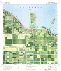
1970 · Lake Harbor
USGS Topo · 1:24,000
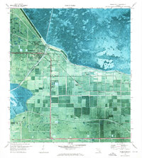
1970 · Moore Haven
USGS Topo · 1:24,000
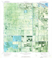
1970 · Clewiston South
USGS Topo · 1:24,000
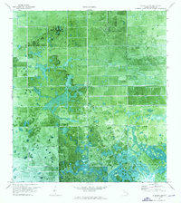
1970 · La Belle 4 NE
USGS Topo · 1:24,000
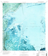
1971 · Fisheating Bay
USGS Topo · 1:24,000
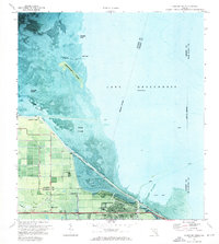
1971 · Clewiston North
USGS Topo · 1:24,000
1971 · Cochrans Pass
USGS Topo · 1:24,000