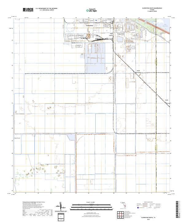
2024 Map of Clewiston South
USGS Topo · Published 2024About this map
The sugar-driven landscape of southern Florida is clearly defined in this modern survey, where the organized grid of Clewiston meets the industrial and agricultural infrastructure of the Everglades. The map captures the interface between established residential areas like Harlem and the critical transportation hubs of Sugar Junction and Hooker Point. To the north, the massive engineering of the Rim Canal separates the town from the waters of Lake Okeechobee and Coot Bay, illustrating the area's ongoing relationship with water management.
Find a feature on this map
48 named features on this map. Tap any name to fly to it.
Don’t see what you’re looking for? This feature index may not catch every label — zoom into the map to look around manually.
Map Details
Editions of this 2024 Clewiston South Map
This is the sole edition of this map. No revisions or reprints were ever made.
Other maps of this area

1956 · West Palm Beach
USGS Topo · 1:250,000

1957 · West Palm Beach
USGS Topo · 1:250,000

1958 · West Palm Beach
USGS Topo · 1:250,000

1970 · Lake Harbor
USGS Topo · 1:24,000

1970 · Lake Harbor SE
USGS Topo · 1:24,000

1970 · Moore Haven
USGS Topo · 1:24,000

1970 · Lake Harbor SW
USGS Topo · 1:24,000

1970 · Clewiston South
USGS Topo · 1:24,000

1970 · La Belle 4 SE
USGS Topo · 1:24,000

1970 · La Belle 4 NE
USGS Topo · 1:24,000