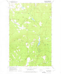
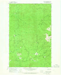
1964 Map of Cliff Ridge
USGS Topo · Published 1976About this map
Little Pend Oreille Game Range and the Colville National Forest dominate this mid-1960s landscape in Stevens County. The map captures a transition from managed wilderness to early 20th-century remnants, such as the Old RR Grade and the Bingville (Site) near North Fork Chewelah Creek. Education and industry are represented by the Narcisse Sch in the northwest and the Perry Mine to the south.
Find a feature on this map
34 named features on this map. Tap any name to fly to it.
Don’t see what you’re looking for? This feature index may not catch every label — zoom into the map to look around manually.
Map Details
Editions of this 1964 Cliff Ridge Map
5 editions found
Other maps of this area

1927 · Chewelah
USGS Topo · 1:125,000

1929 · Colville
USGS Topo · 1:125,000

1930 · Chewelah
USGS Topo · 1:125,000

1933 · Colville
USGS Topo · 1:125,000

1952 · White Mud Lake
USGS Topo · 1:24,000

1958 · Sandpoint
USGS Topo · 1:250,000

1963 · Sandpoint
USGS Topo · 1:250,000

1964 · Chewelah
USGS Topo · 1:24,000

1964 · Cliff Ridge
USGS Topo · 1:24,000
1964 · Calispell Peak
USGS Topo · 1:24,000