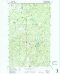
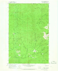
1964 Map of Cliff Ridge
USGS Topo · Published 1986About this map
The Little Pend Oreille National Wildlife Refuge and Colville National Forest dominate this northeastern Washington landscape, showing a region managed for both timber and conservation in the mid-1960s. The terrain is defined by significant elevations such as Blacktail Mountain and Cliff Ridge, which rise above the drainages of the Little Pend Oreille River and Bear Creek. Human presence is evidenced by the Wildlife Refuge Headquarters, several designated campgrounds, and the isolated Narcisse School in the northwest. Local industry is marked by a Mine near the ridge and multiple quarries. The map captures a transitional period where revisions from the early 1980s highlight updated water features like Bayley Lake and McDowell Lake, reflecting the evolving hydrological management within the protected Little Pend Oreille State Wildlife Area.
Find a feature on this map
31 named features on this map. Tap any name to fly to it.
Don’t see what you’re looking for? This feature index may not catch every label — zoom into the map to look around manually.
Map Details
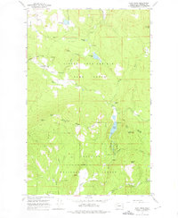
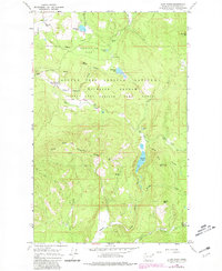
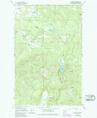
Editions of this 1964 Cliff Ridge Map
5 editions found
Other maps of this area

1927 · Chewelah
USGS Topo · 1:125,000

1929 · Colville
USGS Topo · 1:125,000

1930 · Chewelah
USGS Topo · 1:125,000

1933 · Colville
USGS Topo · 1:125,000

1952 · White Mud Lake
USGS Topo · 1:24,000

1958 · Sandpoint
USGS Topo · 1:250,000

1963 · Sandpoint
USGS Topo · 1:250,000

1964 · Chewelah
USGS Topo · 1:24,000

1964 · Cliff Ridge
USGS Topo · 1:24,000
1964 · Calispell Peak
USGS Topo · 1:24,000