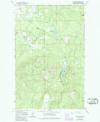
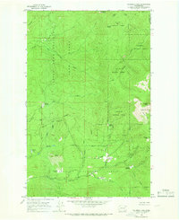
1964 Map of Cliff Ridge
USGS Topo · Published 1986About this map
Little Pend Oreille Wildlife Refuge and the surrounding Colville National Forest dominate this mid-century landscape in Stevens County. The area is defined by its complex hydrology and managed wilderness, where the Little Pend Oreille River and its forks wind through high-elevation terrain punctuated by Starvation Flat and Cliff Ridge. Human presence is marked by isolated outposts like the Wildlife Refuge Headquarters and the Narcisse Sch, reflecting a sparse settlement pattern tied to conservation and early industry.
Find a feature on this map
38 named features on this map. Tap any name to fly to it.
Don’t see what you’re looking for? This feature index may not catch every label — zoom into the map to look around manually.
Map Details
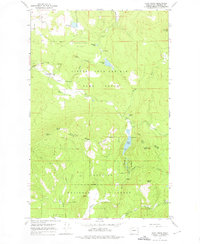
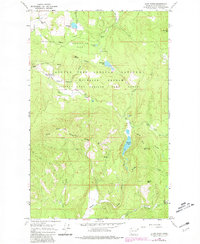
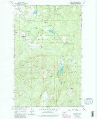
Editions of this 1964 Cliff Ridge Map
5 editions found
Other maps of this area

1927 · Chewelah
USGS Topo · 1:125,000

1929 · Colville
USGS Topo · 1:125,000

1930 · Chewelah
USGS Topo · 1:125,000

1933 · Colville
USGS Topo · 1:125,000

1952 · White Mud Lake
USGS Topo · 1:24,000

1958 · Sandpoint
USGS Topo · 1:250,000

1963 · Sandpoint
USGS Topo · 1:250,000

1964 · Chewelah
USGS Topo · 1:24,000

1964 · Cliff Ridge
USGS Topo · 1:24,000
1964 · Calispell Peak
USGS Topo · 1:24,000