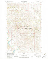
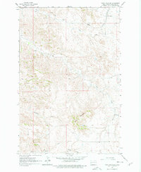
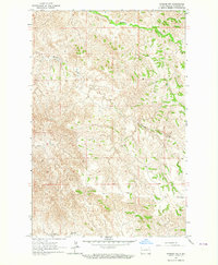
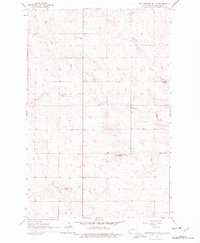
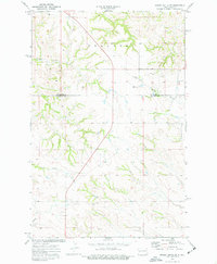
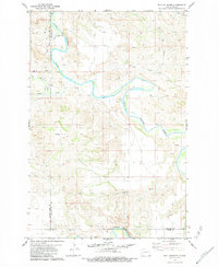
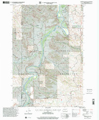
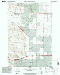
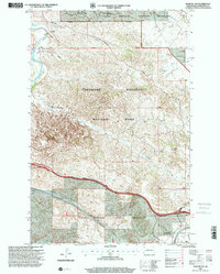
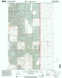
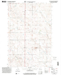
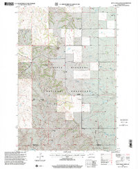
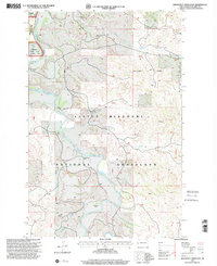
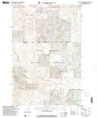
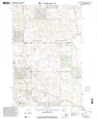
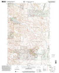
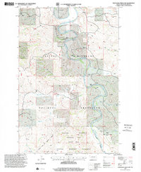
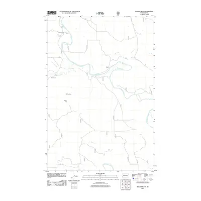
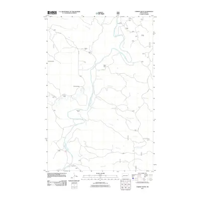
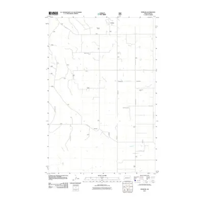
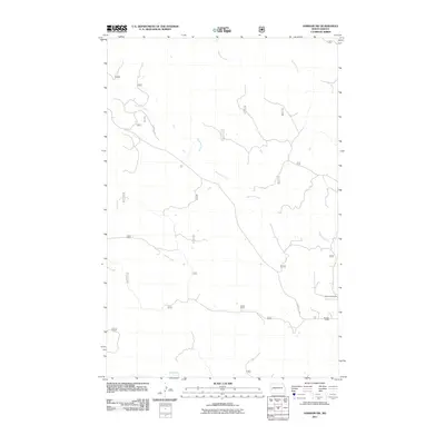
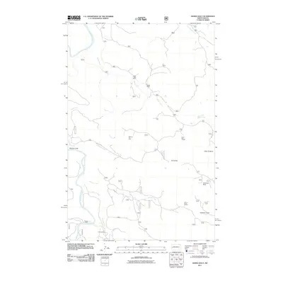
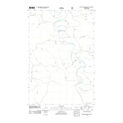
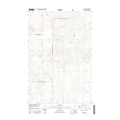
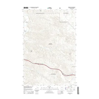
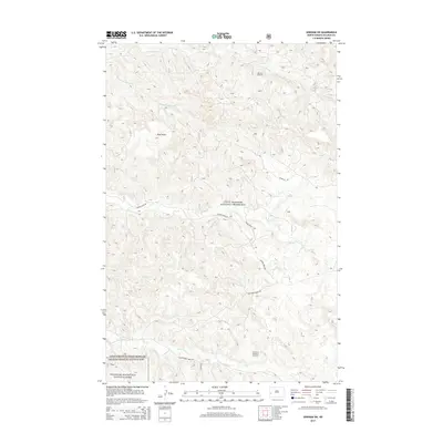
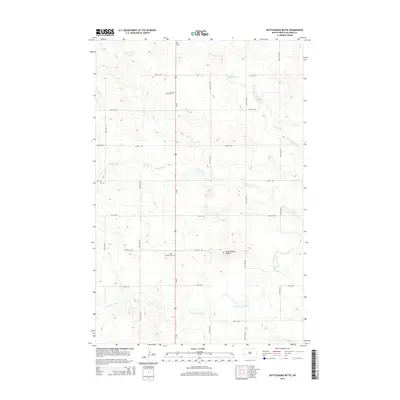
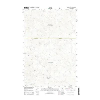
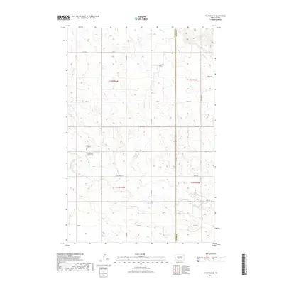
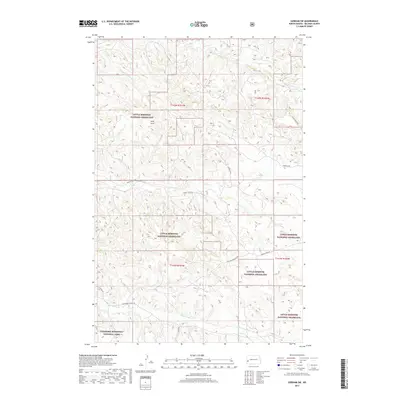
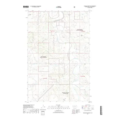
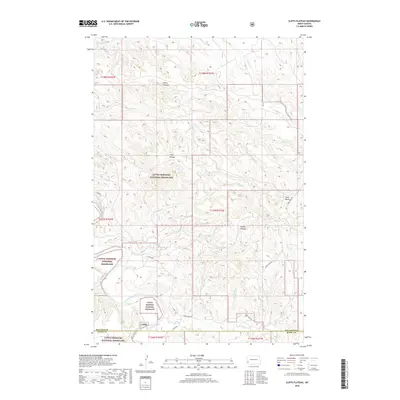
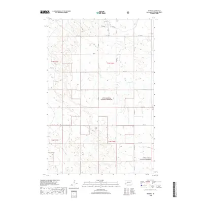
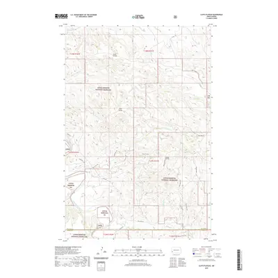
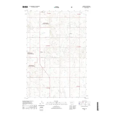
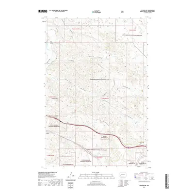
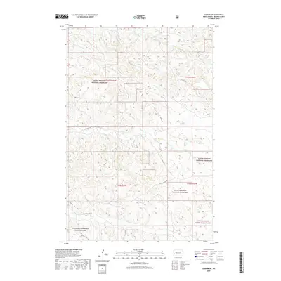
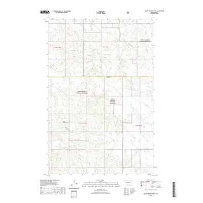
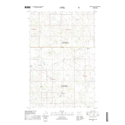
1982 Map of Cliffs Plateau
USGS Topo · Published 1983About this map
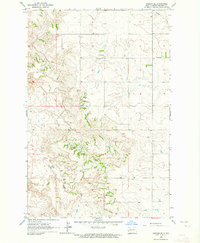
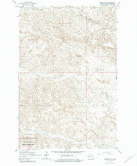
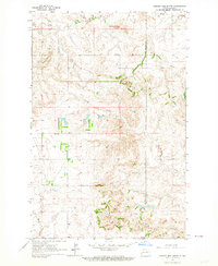
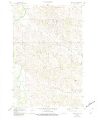
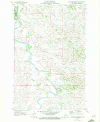
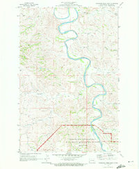
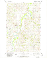
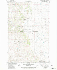
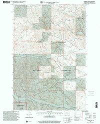
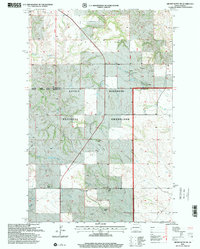
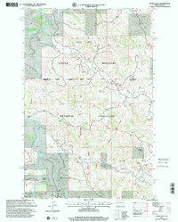
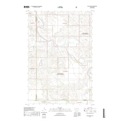
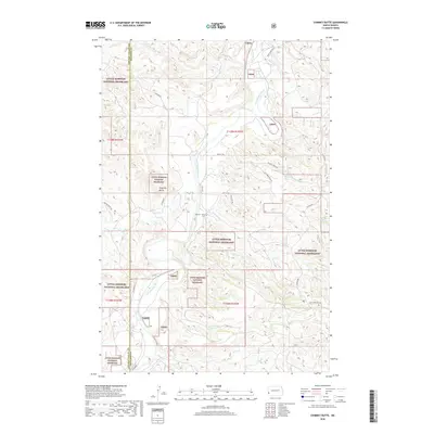
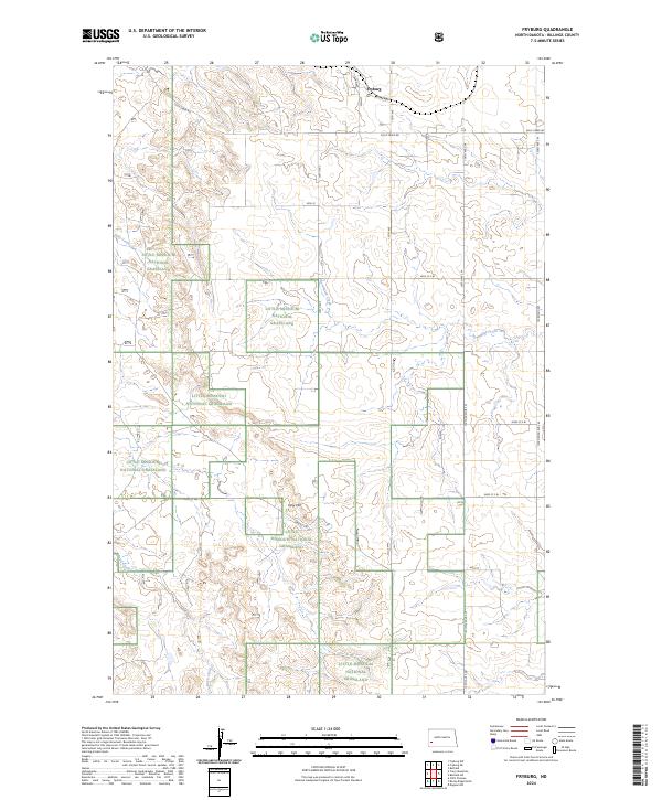
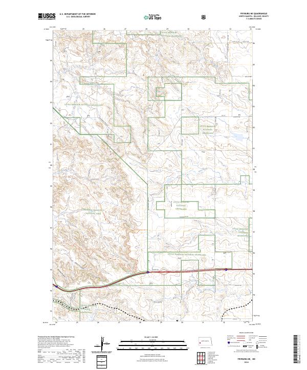
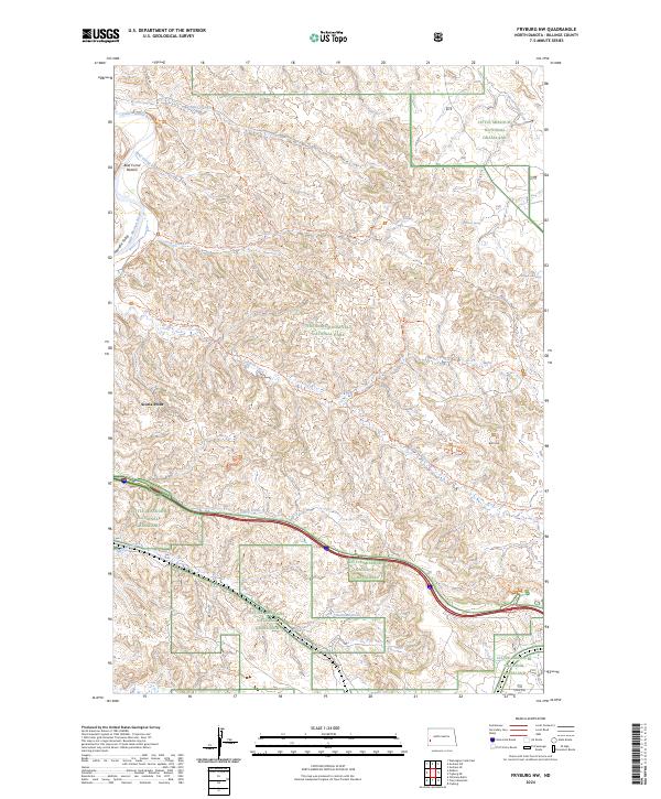
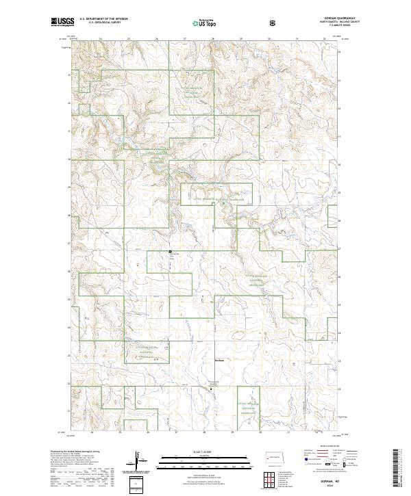
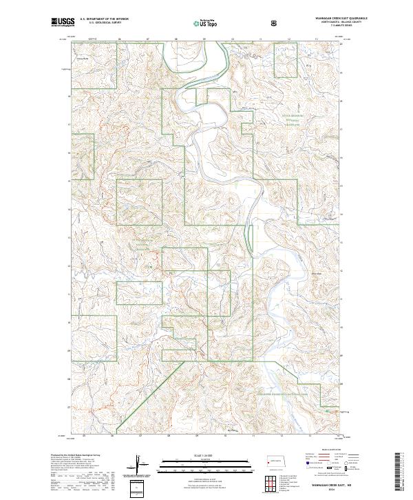
The Little Missouri National Grassland dominates this landscape in western North Dakota, where the Little Missouri River carves through the badlands. Elevated terrain features like Kinley Plateau, Cliffs Plateau, and Toms Butte define the horizon, separated by a complex network of seasonal drainages including Whites Wash, Toms Wash, and Hanley Wash.
Find a feature on this map
19 named features on this map. Tap any name to fly to it.
Don’t see what you’re looking for? This feature index may not catch every label — zoom into the map to look around manually.
Map Details
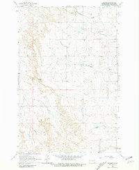
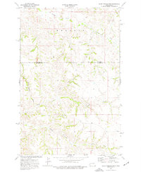
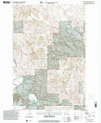
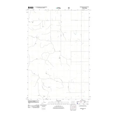
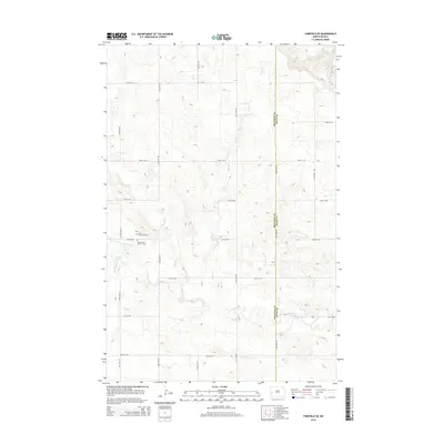
Editions of this 1982 Cliffs Plateau Map
This is the sole edition of this map. No revisions or reprints were ever made.
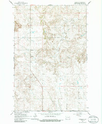
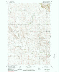
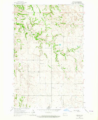
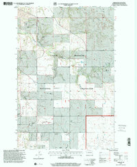
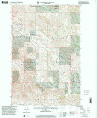
Historical Maps of Slope County Through Time
154 maps found
1962 Fryburg
Billings County, ND
1962 Fryburg NE
Billings County, ND
1962 Fryburg NW
Billings County, ND
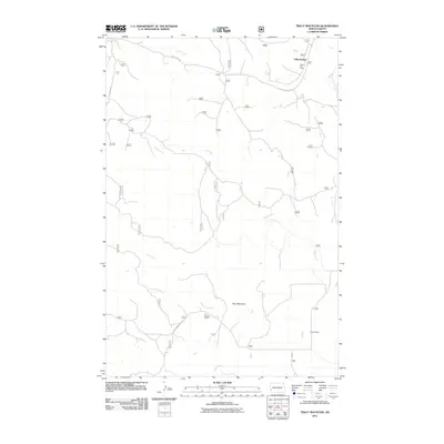
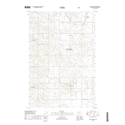
1962 Tracy Mountain
Billings County, ND
1963 Fairfield
Billings County, ND
1963 Fairfield SE
Billings County, ND
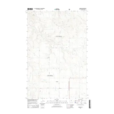
1963 Gorham
Billings County, ND
1963 Gorham NW
Billings County, ND
1963 Gorham SE
Billings County, ND
1963 Gorham SW
Billings County, ND
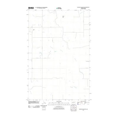
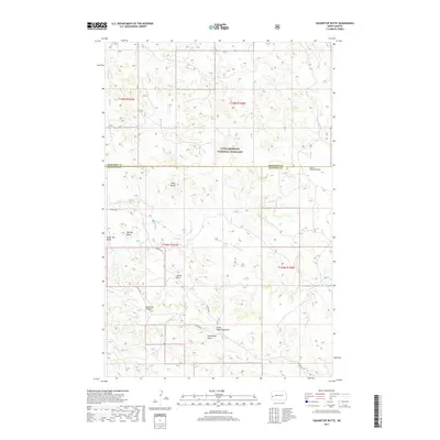
1963 Hungry Man Butte
Billings County, ND
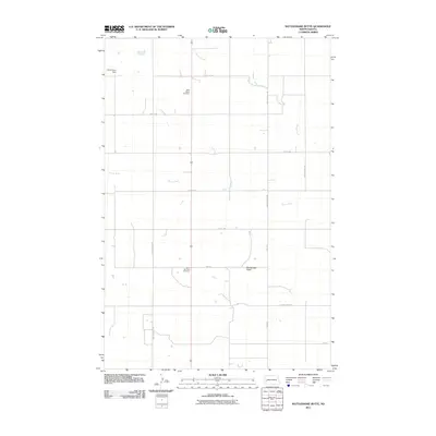
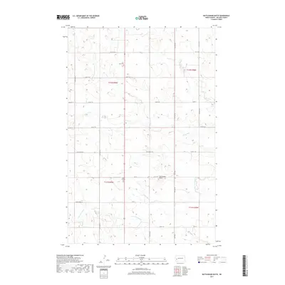
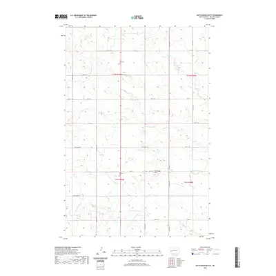
1963 Rattlesnake Butte
Billings County, ND
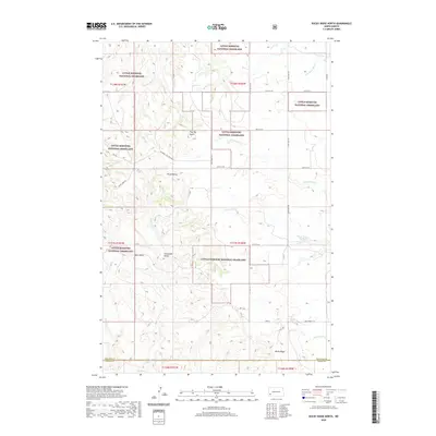
1970 Hanks Gully
Billings County, ND
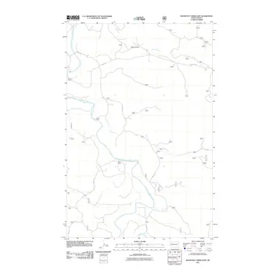
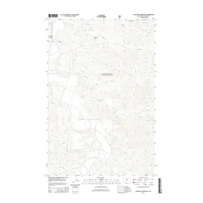
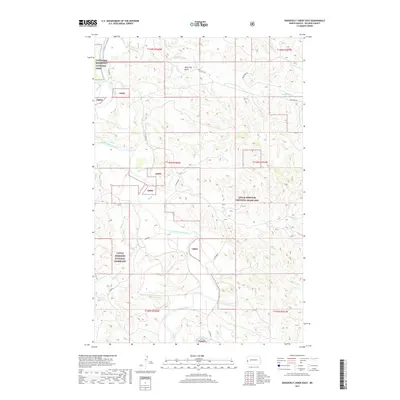
1970 Roosevelt Creek East
Billings County, ND
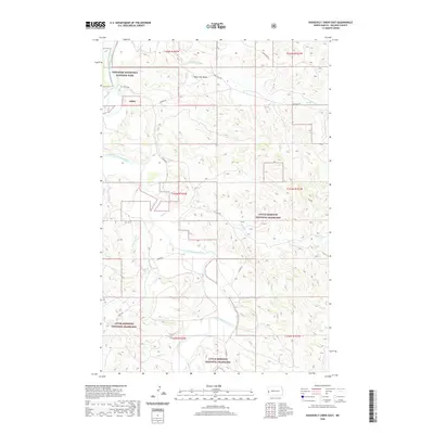
1970 Wannagan Creek East
Billings County, ND
1974 Grassy Butte SW
Billings County, ND
1974 Scairt Woman Draw
Billings County, ND
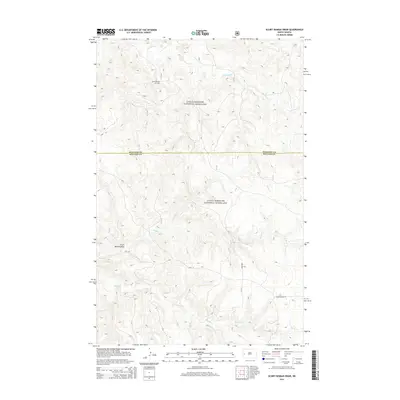
1974 Squaretop Butte
Billings County, ND
1978 Hungry Man Butte
Billings County, ND
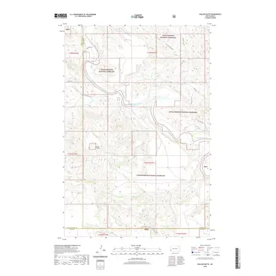
1979 Bullion Butte
Billings County, ND
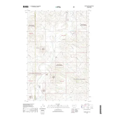
1979 Chimney Butte
Billings County, ND
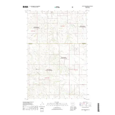
1982 Cliffs Plateau
Billings County, ND
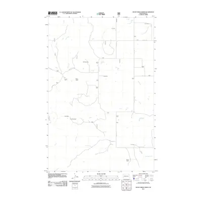
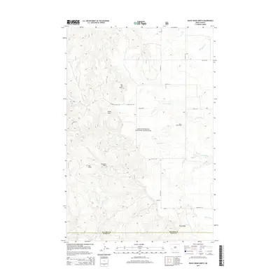
1982 Rocky Ridge North
Billings County, ND

1983 Grassy Butte
Billings County, ND
1997 Bullion Butte
Billings County, ND
1997 Chimney Butte
Billings County, ND
1997 Cliffs Plateau
Billings County, ND
1997 Fairfield
Billings County, ND
1997 Fryburg
Billings County, ND
1997 Fryburg NE
Billings County, ND
1997 Fryburg NW
Billings County, ND
1997 Gorham
Billings County, ND
1997 Gorham NW
Billings County, ND
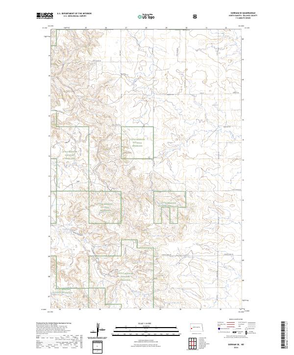
1997 Gorham SE
Billings County, ND
1997 Gorham SW
Billings County, ND
1997 Grassy Butte SW
Billings County, ND
1997 Hanks Gully
Billings County, ND
1997 Rattlesnake Butte
Billings County, ND
1997 Rocky Ridge North
Billings County, ND
1997 Roosevelt Creek East
Billings County, ND
1997 Scairt Woman Draw
Billings County, ND
1997 Squaretop Butte
Billings County, ND
1997 Tracy Mountain
Billings County, ND
1997 Wannagan Creek East
Billings County, ND
2011 Bullion Butte
Billings County, ND
2011 Chimney Butte
Billings County, ND
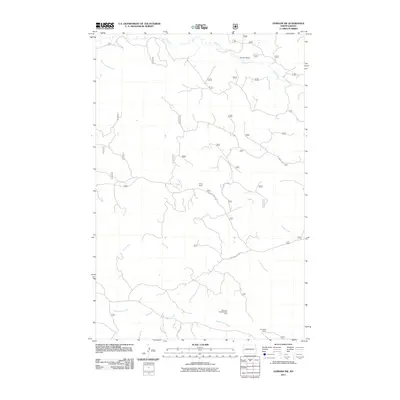
2011 Cliffs Plateau
Billings County, ND
2011 Fairfield
Billings County, ND
2011 Fairfield SE
Billings County, ND
2011 Fryburg
Billings County, ND
2011 Fryburg NE
Billings County, ND
2011 Fryburg NW
Billings County, ND
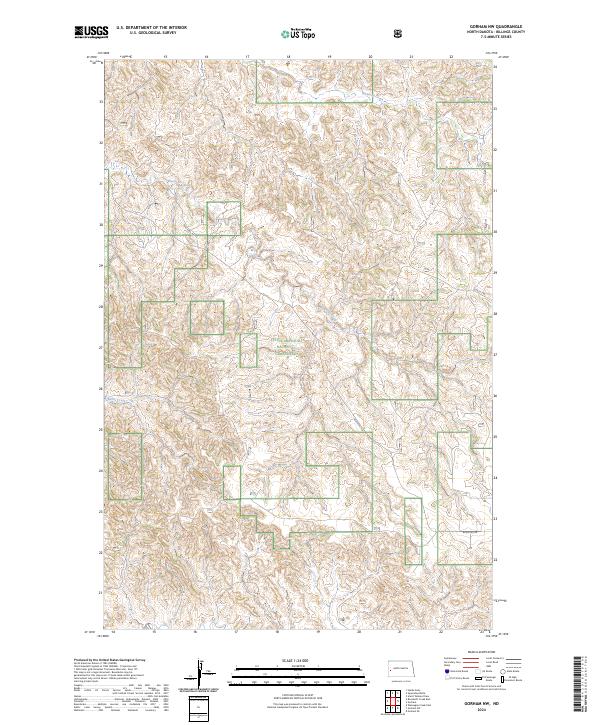
2011 Gorham
Billings County, ND
2011 Gorham NW
Billings County, ND
2011 Gorham SE
Billings County, ND
2011 Gorham SW
Billings County, ND
2011 Grassy Butte SW
Billings County, ND
2011 Hanks Gully
Billings County, ND
2011 Hungry Man Butte
Billings County, ND
2011 Rattlesnake Butte
Billings County, ND
2011 Rocky Ridge North
Billings County, ND
2011 Roosevelt Creek East
Billings County, ND
2011 Scairt Woman Draw
Billings County, ND
2011 Squaretop Butte
Billings County, ND
2011 Tracy Mountain
Billings County, ND
2011 Wannagan Creek East
Billings County, ND
2014 Bullion Butte
Billings County, ND
2014 Chimney Butte
Billings County, ND
2014 Cliffs Plateau
Billings County, ND
2014 Fairfield
Billings County, ND
2014 Fairfield SE
Billings County, ND
2014 Fryburg
Billings County, ND
2014 Fryburg NE
Billings County, ND
2014 Fryburg NW
Billings County, ND
2014 Gorham
Billings County, ND
2014 Gorham NW
Billings County, ND
2014 Gorham SE
Billings County, ND
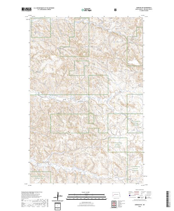
2014 Gorham SW
Billings County, ND
2014 Grassy Butte SW
Billings County, ND
2014 Hanks Gully
Billings County, ND
2014 Hungry Man Butte
Billings County, ND
2014 Rattlesnake Butte
Billings County, ND
2014 Rocky Ridge North
Billings County, ND
2014 Roosevelt Creek East
Billings County, ND
2014 Scairt Woman Draw
Billings County, ND
2014 Squaretop Butte
Billings County, ND
2014 Tracy Mountain
Billings County, ND
2014 Wannagan Creek East
Billings County, ND
2017 Fairfield
Billings County, ND
2017 Fairfield SE
Billings County, ND
2017 Gorham
Billings County, ND
2017 Gorham NW
Billings County, ND
2017 Gorham SE
Billings County, ND
2017 Gorham SW
Billings County, ND
2017 Grassy Butte SW
Billings County, ND
2017 Hanks Gully
Billings County, ND
2017 Hungry Man Butte
Billings County, ND
2017 Rattlesnake Butte
Billings County, ND
2017 Roosevelt Creek East
Billings County, ND
2017 Scairt Woman Draw
Billings County, ND
2017 Squaretop Butte
Billings County, ND
2017 Wannagan Creek East
Billings County, ND
2018 Bullion Butte
Billings County, ND
2018 Chimney Butte
Billings County, ND
2018 Cliffs Plateau
Billings County, ND
2018 Fryburg
Billings County, ND
2018 Fryburg NE
Billings County, ND
2018 Fryburg NW
Billings County, ND
2018 Rocky Ridge North
Billings County, ND
2018 Tracy Mountain
Billings County, ND
2020 Bullion Butte
Billings County, ND
2020 Chimney Butte
Billings County, ND
2020 Cliffs Plateau
Billings County, ND
2020 Fairfield
Billings County, ND
2020 Fairfield SE
Billings County, ND
2020 Fryburg
Billings County, ND
2020 Fryburg NE
Billings County, ND
2020 Fryburg NW
Billings County, ND
2020 Gorham
Billings County, ND
2020 Gorham NW
Billings County, ND
2020 Gorham SE
Billings County, ND
2020 Gorham SW
Billings County, ND
2020 Grassy Butte SW
Billings County, ND
2020 Hanks Gully
Billings County, ND
2020 Hungry Man Butte
Billings County, ND
2020 Rattlesnake Butte
Billings County, ND
2020 Rocky Ridge North
Billings County, ND
2020 Roosevelt Creek East
Billings County, ND
2020 Scairt Woman Draw
Billings County, ND
2020 Squaretop Butte
Billings County, ND
2020 Tracy Mountain
Billings County, ND
2020 Wannagan Creek East
Billings County, ND
2024 Bullion Butte
Billings County, ND
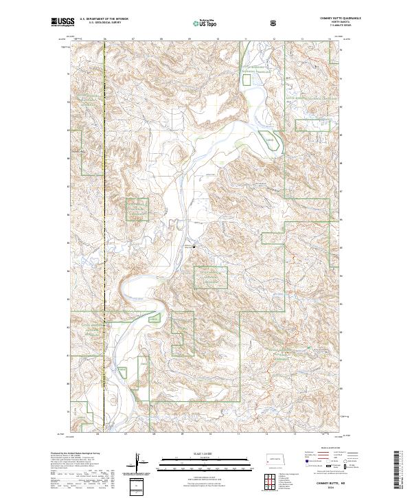
2024 Chimney Butte
Billings County, ND
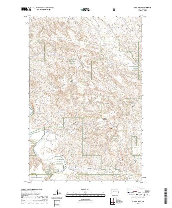
2024 Cliffs Plateau
Billings County, ND
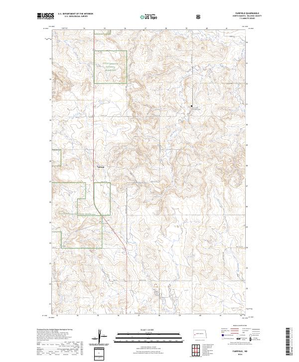
2024 Fairfield
Billings County, ND
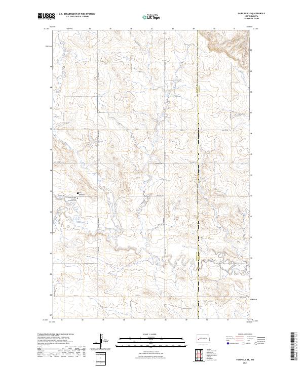
2024 Fairfield SE
Billings County, ND
2024 Fryburg
Billings County, ND
2024 Fryburg NE
Billings County, ND
2024 Fryburg NW
Billings County, ND
2024 Gorham
Billings County, ND
2024 Gorham NW
Billings County, ND
2024 Gorham SE
Billings County, ND
2024 Gorham SW
Billings County, ND
2024 Grassy Butte SW
Billings County, ND
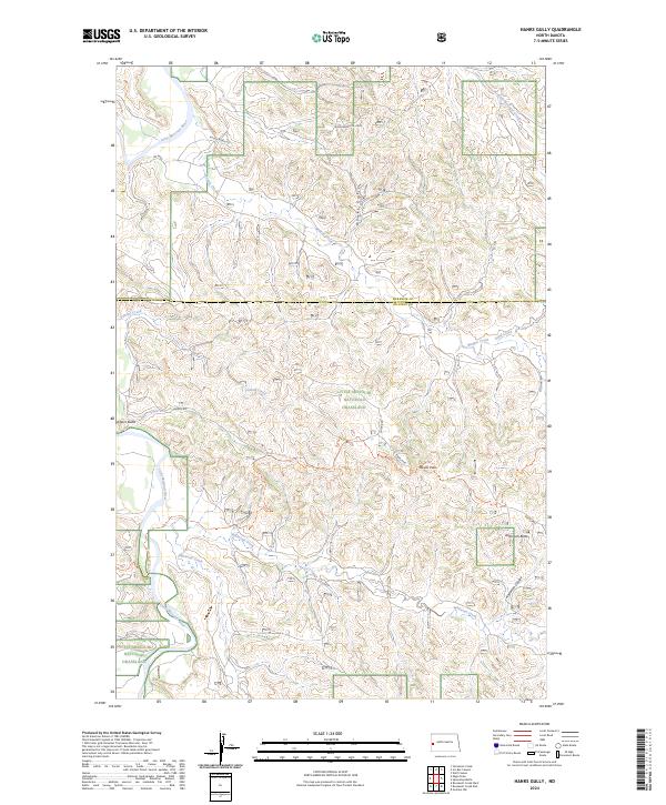
2024 Hanks Gully
Billings County, ND
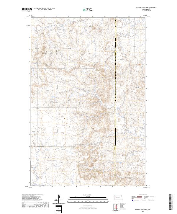
2024 Hungry Man Butte
Billings County, ND
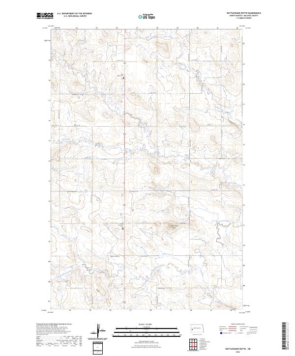
2024 Rattlesnake Butte
Billings County, ND
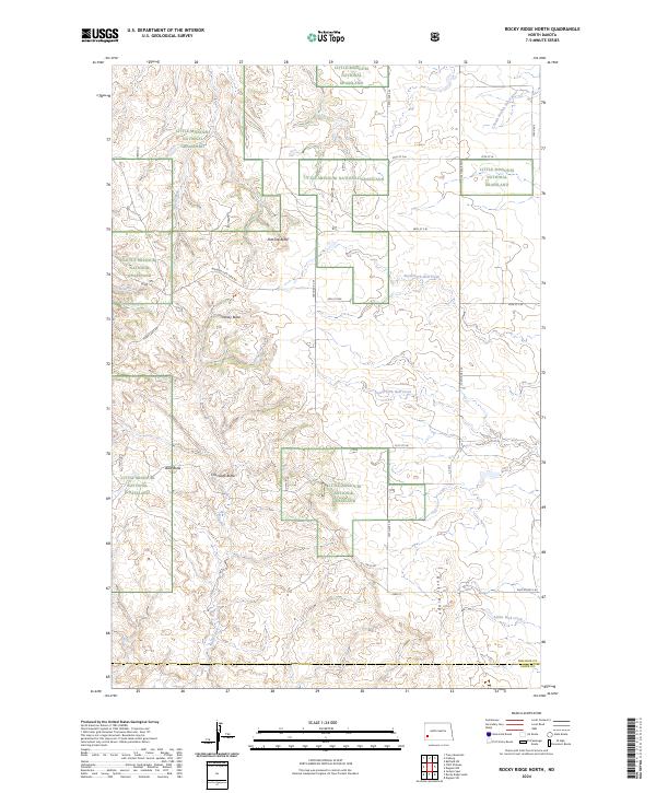
2024 Rocky Ridge North
Billings County, ND
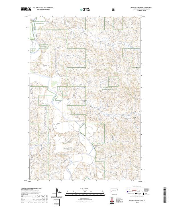
2024 Roosevelt Creek East
Billings County, ND
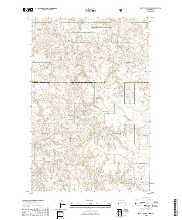
2024 Scairt Woman Draw
Billings County, ND
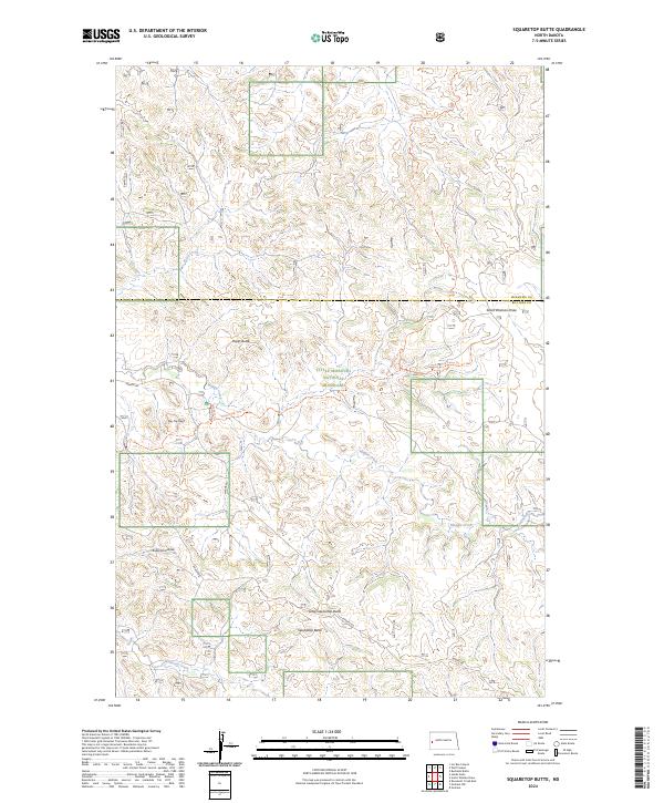
2024 Squaretop Butte
Billings County, ND
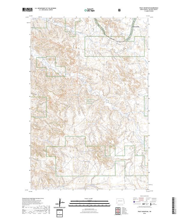
2024 Tracy Mountain
Billings County, ND
2024 Wannagan Creek East
Billings County, ND