
1953 Map of Cliffside
USGS Topo · Published 1954About this map
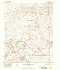
Natural gas production and cattle ranching define this Potter County landscape in the early 1950s. The Cliffside Gas Field Camp sits at the head of Horse Creek, supported by a network of Pipe Lines and specialized infrastructure like the Gas Well Loop Junction Box. This industrial presence is balanced by legacy ranching operations such as Wilkins Ranch and Bishop Ranch, along with the small settlement at Gentry.
Find a feature on this map
20 named features on this map. Tap any name to fly to it.
Don’t see what you’re looking for? This feature index may not catch every label — zoom into the map to look around manually.
Map Details
Editions of this 1953 Cliffside Map
3 editions found
Other maps of this area

1934 · Ady
USGS Topo · 1:62,500

1934 · Cliffside
USGS Topo · 1:62,500

1936 · Cliffside
USGS Topo · 1:62,500

1936 · Ady
USGS Topo · 1:62,500

1953 · Chunky
USGS Topo · 1:24,000

1953 · Puente
USGS Topo · 1:24,000

1953 · Pleasant Valley
USGS Topo · 1:24,000

1954 · Tucumcari
USGS Topo · 1:250,000

1954 · Amarillo
USGS Topo · 1:250,000

1956 · Amarillo East
USGS Topo · 1:24,000