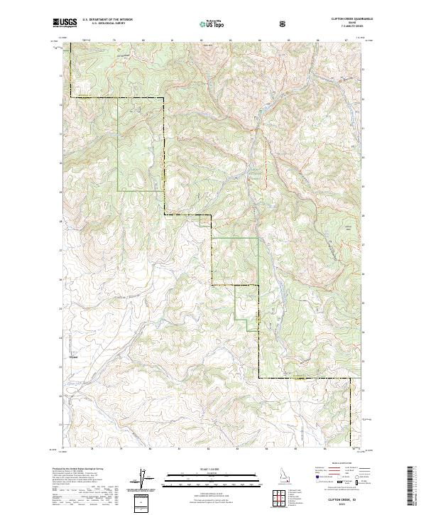
2023 Map of Clifton Creek
USGS Topo · Published 2023About this map
Caribou National Forest dominates this section of the Idaho highlands, where the boundary between Bannock and Power counties cuts through a complex network of canyons and ridgelines. The small settlement of Crystal sits along Mid Crystal Creek Rd in the southwest, serving as a gateway to the steep drainages of Bull Canyon and the headwaters of Clifton Creek. The landscape is defined by an extensive system of forest trails and primitive roads, including the Slate Mountain Trl and Valve House-Pima Trl, which navigate the high ground near Slate Mtn and Scout Mountain.
Find a feature on this map
50 named features on this map. Tap any name to fly to it.
Don’t see what you’re looking for? This feature index may not catch every label — zoom into the map to look around manually.
Map Details
Editions of this 2023 Clifton Creek Map
This is the sole edition of this map. No revisions or reprints were ever made.
Other maps of this area

1934 · Michaud
USGS Topo · 1:62,500

1937 · Pocatello
USGS Topo · 1:48,000

1937 · Michaud
USGS Topo · 1:62,500

1938 · Pauline
USGS Topo · 1:48,000

1944 · Pocatello
USGS Topo · 1:62,500

1944 · Arbon
USGS Topo · 1:62,500

1954 · Pocatello
USGS Topo · 1:250,000

1958 · Pocatello
USGS Topo · 1:250,000

1968 · Hawkins
USGS Topo · 1:24,000

1968 · Clifton Creek
USGS Topo · 1:24,000