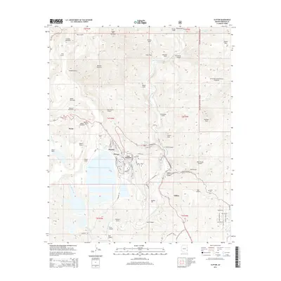
2014 Map of Clifton
USGS Topo · Published 2014About this map
The San Francisco River cuts through this copper-rich landscape of Greenlee County, where the industrial footprint of Morenci and Clifton dominates the terrain. This map reveals the massive earth-moving operations of the region, anchored by the Tailings Water Reclamation Reservoir and the heavy infrastructure of Plantsite and East Plantsite. While industrial activity is clear at Smelter Hill, the area's social history is preserved in its burial grounds, including Metcalf Cem, Sacred Heart Cem, and Bunkers Cem. Beyond the developed corridors of Us-191 and the residential clusters of Stargo, the map transitions into the high country of the Apache National Forest. Geological landmarks like Morenci Mountain and Clifton Peak rise above the deep cuts of Ward Canyon and Devils Canyon, while the Clifton Hot Springs sit near the confluence of Chase Creek and the river, marking a natural break in the rugged mining district.
Find a feature on this map
87 named features on this map. Tap any name to fly to it.
Don’t see what you’re looking for? This feature index may not catch every label — zoom into the map to look around manually.
Map Details
Editions of this 2014 Clifton Map
This is the sole edition of this map. No revisions or reprints were ever made.
Other maps of this area

1902 · Clifton
USGS Topo · 1:62,500

1913 · Morenci
USGS Topo · 1:125,000

1915 · Morenci
USGS Topo · 1:125,000

1954 · Silver City
USGS Topo · 1:250,000

1954 · Clifton
USGS Topo · 1:250,000

1957 · Clifton
USGS Topo · 1:250,000

1958 · Silver City
USGS Topo · 1:250,000

1958 · Clifton
USGS Topo · 1:250,000

1959 · York Valley
USGS Topo · 1:62,500

1960 · Guthrie
USGS Topo · 1:62,500