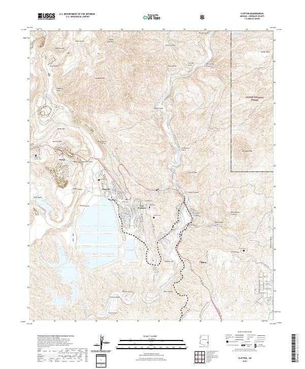
2021 Map of Clifton
USGS Topo · Published 2021About this map
Clifton and the surrounding mining district dominate this 2021 survey, where the San Francisco River cuts a deep path through the high desert terrain. The landscape is defined by massive industrial shaping, seen in the terraces around Morenci and the industrial infrastructure at Plantsite and East Plantsite. This modern record illustrates how mineral extraction has physically transformed the earth, with Smelter Hill and Stargo Gulch marking the intersections of natural topography and large-scale engineering.
Find a feature on this map
114 named features on this map. Tap any name to fly to it.
Don’t see what you’re looking for? This feature index may not catch every label — zoom into the map to look around manually.
Map Details
Editions of this 2021 Clifton Map
This is the sole edition of this map. No revisions or reprints were ever made.
Other maps of this area

1902 · Clifton
USGS Topo · 1:62,500

1913 · Morenci
USGS Topo · 1:125,000

1915 · Morenci
USGS Topo · 1:125,000

1954 · Silver City
USGS Topo · 1:250,000

1954 · Clifton
USGS Topo · 1:250,000

1957 · Clifton
USGS Topo · 1:250,000

1958 · Silver City
USGS Topo · 1:250,000

1958 · Clifton
USGS Topo · 1:250,000

1959 · York Valley
USGS Topo · 1:62,500

1960 · Guthrie
USGS Topo · 1:62,500