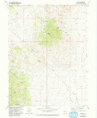
1973 Map of Clifton
USGS Topo · Published 1993About this map
The Pony Express and Overland Stage Route cuts a definitive line across this high-desert landscape, tracing a path through the Clifton Flat and past a recorded historical marker. This corridor of Western expansion is anchored by the Canyon Sta (Ruins), where the remnants of the horse-and-stage era transition into a territory defined by hard-rock extraction. Mining activity is concentrated around the Clifton Hills, evidenced by sites like the Monacco Mine and Midas Mine positioned among the slopes of Montezuma Peak.
Find a feature on this map
38 named features on this map. Tap any name to fly to it.
Don’t see what you’re looking for? This feature index may not catch every label — zoom into the map to look around manually.
Map Details
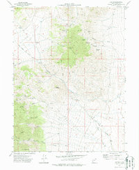
Editions of this 1973 Clifton Map
2 editions found
Other maps of this area

1908 · Fish Springs
USGS Topo · 1:250,000

1910 · Fish Springs
USGS Topo · 1:250,000

1925 · Gold Hill
USGS Topo · 1:62,500

1928 · Gold Hill
USGS Topo · 1:62,500

1953 · Tooele
USGS Topo · 1:250,000

1953 · Delta
USGS Topo · 1:250,000

1955 · Tooele
USGS Topo · 1:250,000

1958 · Delta
USGS Topo · 1:250,000

1962 · Delta
USGS Topo · 1:250,000
1972 · Goshute Canyon
USGS Topo · 1:24,000