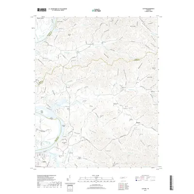
2019 Map of Clifton
USGS Topo · Published 2019About this map
The Tennessee River and Kentucky Lake dominate this landscape, winding through a complex network of ridges and hollows at the borders of Decatur, Perry, and Wayne counties. The settlement of Clifton serves as the primary hub, situated near the riverbanks where Haggard Hollow and Buckeye Branch meet the water. To the north, the elevated Kittrell Ridge and the prominent New Era Bluff overlook the river valley, marking the transition from the waterway to the deeply dissected interior.
Find a feature on this map
131 named features on this map. Tap any name to fly to it.
Don’t see what you’re looking for? This feature index may not catch every label — zoom into the map to look around manually.
Map Details
Editions of this 2019 Clifton Map
This is the sole edition of this map. No revisions or reprints were ever made.
Other maps of this area

1905 · Waynesboro
USGS Topo · 1:125,000

1936 · Eagle Creek
USGS Topo · 1:24,000

1936 · Olivehill
USGS Topo · 1:24,000

1936 · Bath Springs
USGS Topo · 1:24,000

1936 · Linden
USGS Topo · 1:24,000

1936 · Leatherwood
USGS Topo · 1:24,000

1936 · Clifton
USGS Topo · 1:24,000

1936 · Perryville
USGS Topo · 1:24,000

1936 · Waynesboro
USGS Topo · 1:24,000

1936 · Pope
USGS Topo · 1:24,000