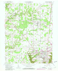
1964 Map of Clifty Falls
USGS Topo · Published 1981About this map
Clifty Falls State Park dominates the southern landscape of this 1964 survey, showcasing the dramatic drainages of Big Clifty Creek and Little Clifty Creek. The park features significant natural landmarks including Tunnel Falls, Wallace Falls, and Hoffman Falls, which contrast with the institutional footprint of the nearby Madison State Hospital. To the north, the sprawling U S Military Reservation Jefferson Proving Ground occupies a large portion of the quadrangle, marked by several gates and a specialized road network including Mine Field Road.
Find a feature on this map
59 named features on this map. Tap any name to fly to it.
Don’t see what you’re looking for? This feature index may not catch every label — zoom into the map to look around manually.
Map Details
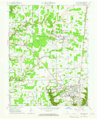
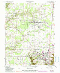
Editions of this 1964 Clifty Falls Map
3 editions found
Other maps of this area

1939 · Madison West
USGS Topo · 1:24,000

1948 · Madison West
USGS Topo · 1:24,000

1953 · Madison West
USGS Topo · 1:24,000

1953 · Madison East
USGS Topo · 1:24,000

1956 · Volga
USGS Topo · 1:24,000

1956 · Kent
USGS Topo · 1:24,000

1956 · Clifty Falls
USGS Topo · 1:24,000

1956 · Canaan
USGS Topo · 1:24,000

1956 · Louisville
USGS Topo · 1:250,000

1959 · San Jacinto
USGS Topo · 1:24,000