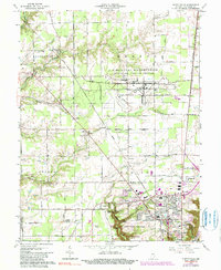
1964 Map of Clifty Falls
USGS Topo · Published 1990About this map
Clifty Falls State Park dominates the southern landscape of this 1960s survey, showcasing a rugged limestone canyon punctuated by Little Clifty Falls, Tunnel Falls, and Wallace Falls. The geography transitions from the deep gorges of Clifty Creek to the expansive, secured territory of the U S Military Reservation Jefferson Proving Ground to the north. Settlement patterns are concentrated near the river bluff, where the Pennsylvania RR and Madison Road serve the community of North Madison.
Find a feature on this map
54 named features on this map. Tap any name to fly to it.
Don’t see what you’re looking for? This feature index may not catch every label — zoom into the map to look around manually.
Map Details
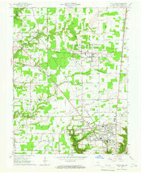
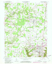
Editions of this 1964 Clifty Falls Map
3 editions found
Other maps of this area

1939 · Madison West
USGS Topo · 1:24,000

1948 · Madison West
USGS Topo · 1:24,000

1953 · Madison West
USGS Topo · 1:24,000

1953 · Madison East
USGS Topo · 1:24,000

1956 · Volga
USGS Topo · 1:24,000

1956 · Kent
USGS Topo · 1:24,000

1956 · Clifty Falls
USGS Topo · 1:24,000

1956 · Canaan
USGS Topo · 1:24,000

1956 · Louisville
USGS Topo · 1:250,000

1959 · San Jacinto
USGS Topo · 1:24,000