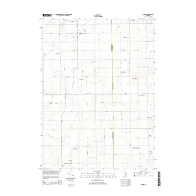
2014 Map of Climax
USGS Topo · Published 2014About this map
Climax serves as a primary hub in this southern Michigan landscape, situated at the junction of W Maple St and N Main St. The surrounding agricultural countryside is defined by a dense grid of lettered roads, from On Ave E in the north down to V Ave E near Gardners Corners. Local genealogy is well-preserved through numerous family and community burial grounds, including Adams Cem, Spencer Mills Cem, and Stimpson Cem.
Find a feature on this map
64 named features on this map. Tap any name to fly to it.
Don’t see what you’re looking for? This feature index may not catch every label — zoom into the map to look around manually.
Map Details
Editions of this 2014 Climax Map
This is the sole edition of this map. No revisions or reprints were ever made.
Other maps of this area

1918 · Battle Creek
USGS Topo · 1:62,500

1918 · Union City
USGS Topo · 1:62,500

1918 · Galesburg
USGS Topo · 1:62,500

1918 · Leonidas
USGS Topo · 1:62,500

1943 · Battle Creek
USGS Topo · 1:62,500

1944 · Leonidas
USGS Topo · 1:62,500

1944 · Galesburg
USGS Topo · 1:62,500

1947 · Augusta
USGS Topo · 1:24,000

1947 · Galesburg
USGS Topo · 1:24,000

1947 · Battle Creek
USGS Topo · 1:24,000