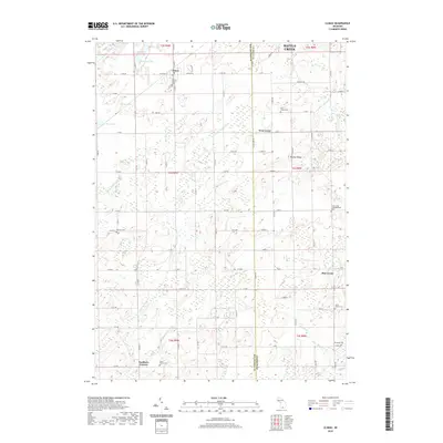
2019 Map of Climax
USGS Topo · Published 2019About this map
The village of Climax anchors the northwestern corner of this agricultural landscape along the border of Kalamazoo and Calhoun counties. The terrain is defined by a complex network of glacial wetlands and drainage systems, including the Portage River, Little Portage Cr, and numerous small basins like Otter Lake, McGinnis Lake, and Le Ferre Lake. This area maintains a strong rural character with several smaller settlement points such as West Leroy, Gardners Corners, and Pine Creek. Genealogists will find a wealth of local history through the numerous burial grounds documented here, from Prairie Home Cem in the north to North Athens Cem and Stimpson Cem near the southern boundary. The map illustrates the grid-based road system that connects these communities, showing the enduring agricultural layout of the region south of Battle Creek.
Find a feature on this map
83 named features on this map. Tap any name to fly to it.
Don’t see what you’re looking for? This feature index may not catch every label — zoom into the map to look around manually.
Map Details
Editions of this 2019 Climax Map
This is the sole edition of this map. No revisions or reprints were ever made.
Other maps of this area

1918 · Battle Creek
USGS Topo · 1:62,500

1918 · Union City
USGS Topo · 1:62,500

1918 · Galesburg
USGS Topo · 1:62,500

1918 · Leonidas
USGS Topo · 1:62,500

1943 · Battle Creek
USGS Topo · 1:62,500

1944 · Leonidas
USGS Topo · 1:62,500

1944 · Galesburg
USGS Topo · 1:62,500

1947 · Augusta
USGS Topo · 1:24,000

1947 · Galesburg
USGS Topo · 1:24,000

1947 · Battle Creek
USGS Topo · 1:24,000