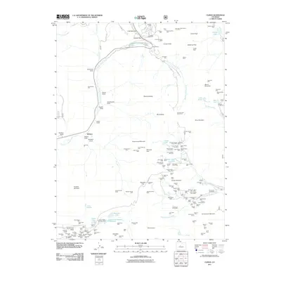
2011 Map of Climax
USGS Topo · Published 2011About this map
Fremont Pass serves as the high-altitude anchor for this 2011 survey, a landscape defined by its deep mining history and the headwaters of the East Fork Arkansas River. The massive footprint of the Climax Mine and Arkansas Pit dominates the northern reaches, where industrial engineering intersects with the high peaks of the Mosquito Range. Numerous portals and adits, such as the Phillipson Portal and Storke Portal, illustrate the subterranean complexity of these mountains.
Find a feature on this map
146 named features on this map. Tap any name to fly to it.
Don’t see what you’re looking for? This feature index may not catch every label — zoom into the map to look around manually.
Map Details
Editions of this 2011 Climax Map
This is the sole edition of this map. No revisions or reprints were ever made.
Other maps of this area

1889 · Leadville
USGS Topo · 1:125,000

1891 · Leadville
USGS Topo · 1:125,000

1934 · Climax
USGS Topo · 1:48,000

1935 · Mount Elbert
USGS Topo · 1:62,500

1938 · Mt. Lincoln
USGS Topo · 1:48,000

1938 · Mount Elbert
USGS Topo · 1:62,500

1939 · Mount Elbert
USGS Topo · 1:62,500

1942 · Leadville
USGS Topo · 1:125,000

1945 · Mount Lincoln
USGS Topo · 1:62,500

1949 · Holy Cross
USGS Topo · 1:62,500