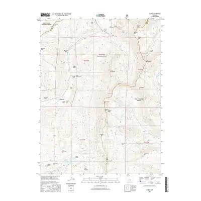
2016 Map of Climax
USGS Topo · Published 2016About this map
Climax sits at the center of this high-altitude landscape along the Continental Divide, where the industrial infrastructure of mining meets the peaks of the Mosquito Range. The presence of the Phillipson Portal, Ceresco Ridge Portal, and Storke Portal indicates a territory deeply shaped by mineral extraction near Fremont Pass. Below these industrial heights, the settlement of Birdseye is located along the E Fork Arkansas River, surrounded by a dense network of drainages including Birdseye Gulch, Indiana Gulch, and Dutch Gulch.
Find a feature on this map
64 named features on this map. Tap any name to fly to it.
Don’t see what you’re looking for? This feature index may not catch every label — zoom into the map to look around manually.
Map Details
Editions of this 2016 Climax Map
This is the sole edition of this map. No revisions or reprints were ever made.
Other maps of this area

1889 · Leadville
USGS Topo · 1:125,000

1891 · Leadville
USGS Topo · 1:125,000

1934 · Climax
USGS Topo · 1:48,000

1935 · Mount Elbert
USGS Topo · 1:62,500

1938 · Mt. Lincoln
USGS Topo · 1:48,000

1938 · Mount Elbert
USGS Topo · 1:62,500

1939 · Mount Elbert
USGS Topo · 1:62,500

1942 · Leadville
USGS Topo · 1:125,000

1945 · Mount Lincoln
USGS Topo · 1:62,500

1949 · Holy Cross
USGS Topo · 1:62,500