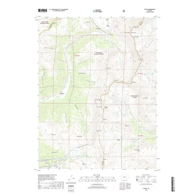
2019 Map of Climax
USGS Topo · Published 2019About this map
The high-altitude mining and transit corridors along the Mosquito Range are recorded here in 2019, centered on the historic mountain settlement of Climax. This landscape is defined by its extreme elevation and industrial infrastructure, notably the Phillipson Portal, Ceresco Ridge Portal, and Storke Portal located near the summit of Fremont Pass. These portals serve the massive mining operations that have historically dominated the local economy.
Find a feature on this map
71 named features on this map. Tap any name to fly to it.
Don’t see what you’re looking for? This feature index may not catch every label — zoom into the map to look around manually.
Map Details
Editions of this 2019 Climax Map
This is the sole edition of this map. No revisions or reprints were ever made.
Other maps of this area

1889 · Leadville
USGS Topo · 1:125,000

1891 · Leadville
USGS Topo · 1:125,000

1934 · Climax
USGS Topo · 1:48,000

1935 · Mount Elbert
USGS Topo · 1:62,500

1938 · Mt. Lincoln
USGS Topo · 1:48,000

1938 · Mount Elbert
USGS Topo · 1:62,500

1939 · Mount Elbert
USGS Topo · 1:62,500

1942 · Leadville
USGS Topo · 1:125,000

1945 · Mount Lincoln
USGS Topo · 1:62,500

1949 · Holy Cross
USGS Topo · 1:62,500