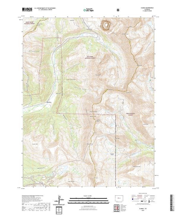
2022 Map of Climax
USGS Topo · Published 2022About this map
The Continental Divide carves through this high-altitude landscape where three of Colorado's major forests—White River National Forest, San Isabel National Forest, and Pike National Forest—converge. Centered on the rugged Mosquito Range, this survey documents the complex network of alpine drainage systems, including the E Fork Arkansas River and Platte Gulch. The settlement of Birdseye sits near the base of the mountains, surrounded by a geography defined by historic mining and transit routes.
Find a feature on this map
71 named features on this map. Tap any name to fly to it.
Don’t see what you’re looking for? This feature index may not catch every label — zoom into the map to look around manually.
Map Details
Editions of this 2022 Climax Map
This is the sole edition of this map. No revisions or reprints were ever made.
Other maps of this area

1889 · Leadville
USGS Topo · 1:125,000

1891 · Leadville
USGS Topo · 1:125,000

1934 · Climax
USGS Topo · 1:48,000

1935 · Mount Elbert
USGS Topo · 1:62,500

1938 · Mt. Lincoln
USGS Topo · 1:48,000

1938 · Mount Elbert
USGS Topo · 1:62,500

1939 · Mount Elbert
USGS Topo · 1:62,500

1942 · Leadville
USGS Topo · 1:125,000

1945 · Mount Lincoln
USGS Topo · 1:62,500

1949 · Holy Cross
USGS Topo · 1:62,500