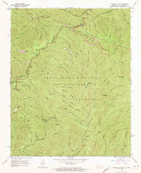
1964 Map of Clingmans Dome
USGS Topo · Published 1972About this map
Clingmans Dome marks the high point of this 1964 survey, where the border between Sevier and Swain counties meets the state line between Tennessee and North Carolina. The high-elevation landscape is defined by the Appalachian Trail as it follows the crest through Collins Gap and Indian Gap toward the iconic Lookout Tower. This era of the Great Smoky Mountains National Park shows a well-established recreational infrastructure, including the Bald Creek Campground and the Poke Patch Campsite.
Find a feature on this map
95 named features on this map. Tap any name to fly to it.
Don’t see what you’re looking for? This feature index may not catch every label — zoom into the map to look around manually.
Map Details
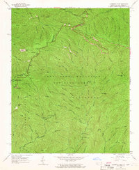
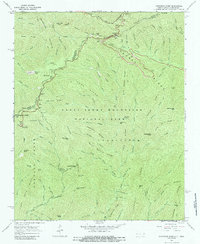
Editions of this 1964 Clingmans Dome Map
3 editions found
Other maps of this area

1886 · Knoxville
USGS Topo · 1:125,000

1891 · Cowee
USGS Topo · 1:125,000

1892 · Knoxville
USGS Topo · 1:125,000

1893 · Mt Guyot
USGS Topo · 1:125,000

1894 · Knoxville
USGS Topo · 1:125,000

1895 · Knoxville
USGS Topo · 1:125,000

1897 · Cowee
USGS Topo · 1:125,000

1901 · Knoxville
USGS Topo · 1:125,000

1907 · Cowee
USGS Topo · 1:125,000

1912 · Mt Guyot
USGS Topo · 1:125,000