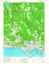
1961 Map of Clinton
USGS Topo · Published 1964About this map
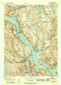
The Hammonasset River forms a winding natural boundary between the coastal towns of Madison and Clinton in this 1961 revision. Along the Long Island Sound, the shoreline is densely developed with seasonal and permanent communities such as Middle Beach, Seaview, and Harbor View. The era's transportation infrastructure is prominently displayed, featuring the Connecticut Turnpike and the New York New Haven and Hartford Railroad cutting across the tidal landscape near Griswold Airport.
Find a feature on this map
88 named features on this map. Tap any name to fly to it.
Don’t see what you’re looking for? This feature index may not catch every label — zoom into the map to look around manually.
Map Details
Editions of this 1961 Clinton Map
4 editions found
Other maps of this area

1893 · Guilford
USGS Topo · 1:62,500

1893 · Saybrook
USGS Topo · 1:62,500

1943 · Durham
USGS Topo · 1:25,000

1944 · Essex
USGS Topo · 1:31,680

1944 · Deep River
USGS Topo · 1:31,680

1947 · Hartford
USGS Topo · 1:250,000

1948 · Hartford
USGS Topo · 1:250,000

1951 · Clinton
USGS Topo · 1:31,680
1952 · Deep River
USGS Topo · 1:31,680

1952 · Haddam
USGS Topo · 1:31,680