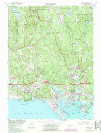
1961 Map of Clinton
USGS Topo · Published 1984About this map
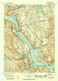
Clinton Harbor and the Long Island Sound shoreline define this mid-century portrait of the Connecticut coast. The map illustrates a period of significant infrastructure development, most notably the path of the Connecticut Turnpike cutting across the landscape with major junctions like Interchange 63 and Interchange 64 facilitating new growth. While the coastal areas of Clinton and Madison show dense residential patterns and community markers like Island Av Sch and the Griswold Airport, the interior transitions into the dense woodlands of Cockaponset State Forest.
Find a feature on this map
89 named features on this map. Tap any name to fly to it.
Don’t see what you’re looking for? This feature index may not catch every label — zoom into the map to look around manually.
Map Details
Editions of this 1961 Clinton Map
4 editions found
Other maps of this area

1893 · Guilford
USGS Topo · 1:62,500

1893 · Saybrook
USGS Topo · 1:62,500

1943 · Durham
USGS Topo · 1:25,000

1944 · Essex
USGS Topo · 1:31,680

1944 · Deep River
USGS Topo · 1:31,680

1947 · Hartford
USGS Topo · 1:250,000

1948 · Hartford
USGS Topo · 1:250,000

1951 · Clinton
USGS Topo · 1:31,680
1952 · Deep River
USGS Topo · 1:31,680

1952 · Haddam
USGS Topo · 1:31,680