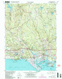
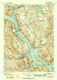
1961 Map of Clinton
USGS Topo · Published 1984About this map
Clinton Harbor and the saltwater shoreline of Long Island Sound dominate the southern edge of this mid-century survey, which reveals a landscape transitioning from coastal recreation to modern suburban transit. The shoreline is punctuated by distinct seasonal and year-round communities like Seaview Beach, Clinton Beach, and Harbor View, while the massive Hammonasset State Park preserves the natural reach of Hammonasset Pt. Inland, the 1984 photorevisions highlight the expansion of the Connecticut Turnpike and its various interchanges, such as Interchange 63, which bypasses the older town centers. Local landmarks like the Griswold Airport and a Drive-in Theater near Kelseytown speak to the car-centric culture of the era, even as the Conrail line continues to trace the historic rail corridor. Northward, the terrain climbs toward Roast Meat Hill and the dense woodlands of Cockaponset State Forest, where early cemeteries like Union Cem and Southwest Cem remain as traces of the area's deep colonial roots.
Find a feature on this map
86 named features on this map. Tap any name to fly to it.
Don’t see what you’re looking for? This feature index may not catch every label — zoom into the map to look around manually.
Map Details
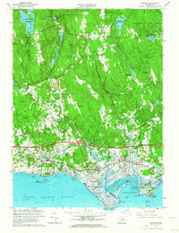
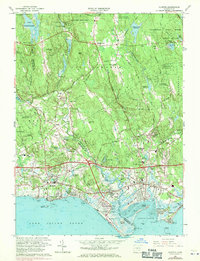
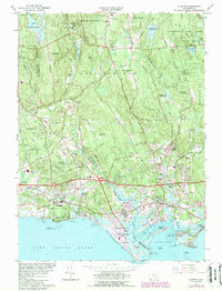
Editions of this 1961 Clinton Map
4 editions found
Other maps of this area

1893 · Guilford
USGS Topo · 1:62,500

1893 · Saybrook
USGS Topo · 1:62,500

1943 · Durham
USGS Topo · 1:25,000

1944 · Essex
USGS Topo · 1:31,680

1944 · Deep River
USGS Topo · 1:31,680

1947 · Hartford
USGS Topo · 1:250,000

1948 · Hartford
USGS Topo · 1:250,000

1951 · Clinton
USGS Topo · 1:31,680
1952 · Deep River
USGS Topo · 1:31,680

1952 · Haddam
USGS Topo · 1:31,680