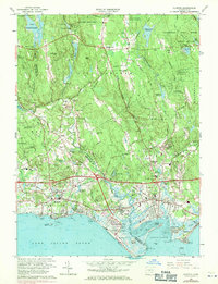
1961 Map of Clinton
USGS Topo · Published 1971About this map
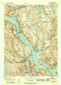
Long Island Sound borders the coastal communities of Clinton and Madison in this mid-century portrait of the Connecticut shoreline. The landscape transitions from the developed beaches of Seaview Beach and Clinton Beach to the dense woodlands of Cockaponset State Forest and Hammonasset State Park. Inland, the terrain is marked by prominent elevations like Roast Meat Hill and Buell Hill, while the Hammonasset River carves a natural boundary between New Haven and Middlesex counties. The map reflects a period of significant infrastructure, showing the Connecticut Turnpike and the Penn Central railroad cutting through the coastal plain. Notable local landmarks such as Griswold Airport and a Drive-in Theater capture the era's recreational and transportation character, while a Gold Mine near Evergreen Cem points to earlier resource extraction in the region.
Find a feature on this map
76 named features on this map. Tap any name to fly to it.
Don’t see what you’re looking for? This feature index may not catch every label — zoom into the map to look around manually.
Map Details
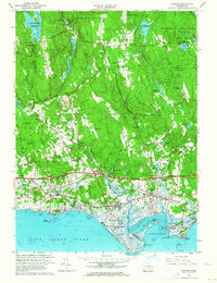
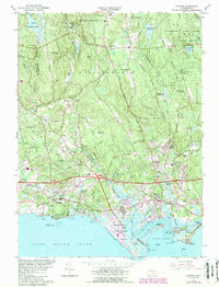
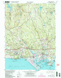
Editions of this 1961 Clinton Map
4 editions found
Other maps of this area

1893 · Guilford
USGS Topo · 1:62,500

1893 · Saybrook
USGS Topo · 1:62,500

1943 · Durham
USGS Topo · 1:25,000

1944 · Essex
USGS Topo · 1:31,680

1944 · Deep River
USGS Topo · 1:31,680

1947 · Hartford
USGS Topo · 1:250,000

1948 · Hartford
USGS Topo · 1:250,000

1951 · Clinton
USGS Topo · 1:31,680
1952 · Deep River
USGS Topo · 1:31,680

1952 · Haddam
USGS Topo · 1:31,680