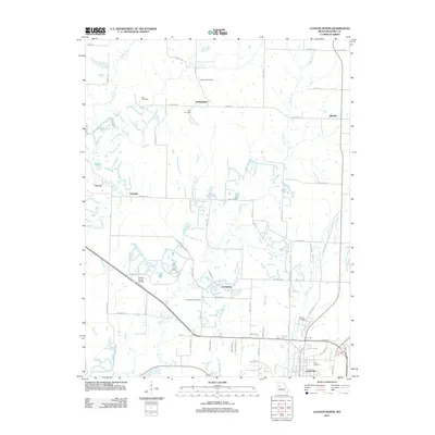
2011 Map of Clinton North
USGS Topo · Published 2011About this map
Clinton sits at the southern edge of this Missouri landscape, where the residential streets of North Clinton transition into the rural sections of northern Henry County. The terrain is defined by a dendritic network of waterways including Honey Creek, Fields Creek, and Rose Creek, which all eventually drain toward the South Grand River at the map's southern boundary. Small rural communities and crossroads like Huntingdale, Quarles, and Livingston are dispersed across the grid of gravel and paved roads, reflecting the region's agricultural layout. Local history is anchored by several burial grounds, including Freeman Cemetery and Antioch Cemetery, which serve as permanent records of early families. Near the center of the sheet, the Ferros Ranch Airport provides a small aviation landmark amidst the rolling pastures and wooded creek bottoms that characterize this part of the state.
Find a feature on this map
35 named features on this map. Tap any name to fly to it.
Don’t see what you’re looking for? This feature index may not catch every label — zoom into the map to look around manually.
Map Details
Editions of this 2011 Clinton North Map
This is the sole edition of this map. No revisions or reprints were ever made.
Other maps of this area

1885 · Warrensburg
USGS Topo · 1:125,000

1887 · Clinton
USGS Topo · 1:125,000

1887 · Warrensburg
USGS Topo · 1:125,000

1894 · Warrensburg
USGS Topo · 1:125,000

1894 · Clinton
USGS Topo · 1:125,000

1947 · Jefferson City
USGS Topo · 1:250,000

1953 · Gaines
USGS Topo · 1:24,000

1953 · Montrose
USGS Topo · 1:24,000

1953 · Hartwell
USGS Topo · 1:24,000

1953 · Clinton South
USGS Topo · 1:24,000