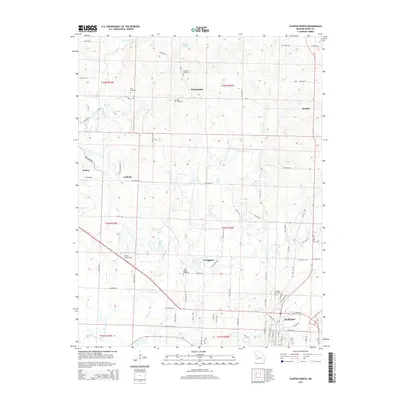
2015 Map of Clinton North
USGS Topo · Published 2015About this map
The town of Clinton anchors the southern edge of this Henry County landscape, where the residential streets of N Main St and N Washington St give way to a pastoral network of rural roads and creek valleys. The terrain is defined by the northward flow of Fields Cr and Honey Cr, which drain toward the South Grand River. This area is dotted with small, long-established unincorporated communities such as Huntingdale, Quarles, and Livingston, each serving as a focal point for the surrounding farmsteads. For those researching local family histories, the map identifies several scattered burial grounds, including Paul Cemetery, Antioch Cemetery, and Freeman Cemetery. A notable aviation landmark, Ferros Ranch-Aero, sits west of Livingston, while the northern reaches of the quadrangle are primarily marked by the structured grid of range and township lines.
Find a feature on this map
57 named features on this map. Tap any name to fly to it.
Don’t see what you’re looking for? This feature index may not catch every label — zoom into the map to look around manually.
Map Details
Editions of this 2015 Clinton North Map
This is the sole edition of this map. No revisions or reprints were ever made.
Other maps of this area

1885 · Warrensburg
USGS Topo · 1:125,000

1887 · Clinton
USGS Topo · 1:125,000

1887 · Warrensburg
USGS Topo · 1:125,000

1894 · Warrensburg
USGS Topo · 1:125,000

1894 · Clinton
USGS Topo · 1:125,000

1947 · Jefferson City
USGS Topo · 1:250,000

1953 · Gaines
USGS Topo · 1:24,000

1953 · Montrose
USGS Topo · 1:24,000

1953 · Hartwell
USGS Topo · 1:24,000

1953 · Clinton South
USGS Topo · 1:24,000