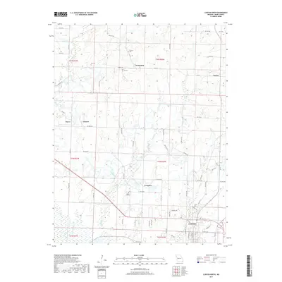
2017 Map of Clinton North
USGS Topo · Published 2017About this map
The northern reaches of Clinton anchor this Henry County landscape, where the town’s residential and commercial grid meets the rural outskirts of west-central Missouri. A network of county roads, including NW 800th Rd and NW Hwy O, connects small settlements such as Huntingdale, Quarles, Livingston, and the neighboring sites of Harvey and Garland. The terrain is defined by the drainage basins of Honey Cr, Fields Cr, and Town Cr, which carve subtle valleys through the agricultural uplands. For those tracing family histories, the map identifies several local burial grounds, including Paul Cem, Freeman Cem, Fields Creek Cem, and Antioch Cem. These small rural cemeteries and established unincorporated communities offer a detailed look at the 21st-century settlement patterns of the region.
Find a feature on this map
69 named features on this map. Tap any name to fly to it.
Don’t see what you’re looking for? This feature index may not catch every label — zoom into the map to look around manually.
Map Details
Editions of this 2017 Clinton North Map
This is the sole edition of this map. No revisions or reprints were ever made.
Other maps of this area

1885 · Warrensburg
USGS Topo · 1:125,000

1887 · Clinton
USGS Topo · 1:125,000

1887 · Warrensburg
USGS Topo · 1:125,000

1894 · Warrensburg
USGS Topo · 1:125,000

1894 · Clinton
USGS Topo · 1:125,000

1947 · Jefferson City
USGS Topo · 1:250,000

1953 · Gaines
USGS Topo · 1:24,000

1953 · Montrose
USGS Topo · 1:24,000

1953 · Hartwell
USGS Topo · 1:24,000

1953 · Clinton South
USGS Topo · 1:24,000