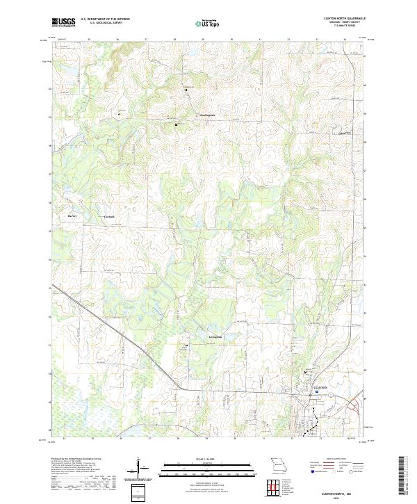
2021 Map of Clinton North
USGS Topo · Published 2021About this map
The South Grand River sweeps across the southern portion of this landscape just below the growing city of Clinton. This region of Henry County is defined by its small rural crossroads and historical burial grounds, including the Fields Creek Cem and Antioch Cem, which serve as quiet landmarks for genealogists tracing early families of the area. Small clusters such as Huntingdale, Quarles, and Livingston are linked by a grid of rural roads and state highways like W Hwy N. To the north, the terrain is carved by the drainages of Honey Cr and Fields Cr, while the southeastern corner features the Katy Trl, a recreational conversion of the old Missouri-Kansas-Texas Railroad corridor that once anchored the regional economy. This modern survey reflects the persistent settlement patterns of Missouri's western prairie-timber borderlands.
Find a feature on this map
35 named features on this map. Tap any name to fly to it.
Don’t see what you’re looking for? This feature index may not catch every label — zoom into the map to look around manually.
Map Details
Editions of this 2021 Clinton North Map
This is the sole edition of this map. No revisions or reprints were ever made.
Other maps of this area

1885 · Warrensburg
USGS Topo · 1:125,000

1887 · Clinton
USGS Topo · 1:125,000

1887 · Warrensburg
USGS Topo · 1:125,000

1894 · Warrensburg
USGS Topo · 1:125,000

1894 · Clinton
USGS Topo · 1:125,000

1947 · Jefferson City
USGS Topo · 1:250,000

1953 · Gaines
USGS Topo · 1:24,000

1953 · Montrose
USGS Topo · 1:24,000

1953 · Hartwell
USGS Topo · 1:24,000

1953 · Clinton South
USGS Topo · 1:24,000