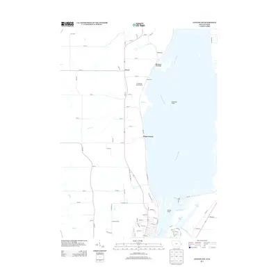
2013 Map of Clinton NW
USGS Topo · Published 2013About this map
The Mississippi River dominates the eastern edge of this Clinton County landscape, defining the border between Iowa and Illinois as it flows past a network of islands and backwaters. The hydraulic engineering of Lock and Dam No 13 stands as a primary landmark along the river's course, influencing the nearby wetlands of Cattail Slough and the quiet waters of Swedes Lake. Inland, the terrain is characterized by the open expanse of Pomme de Terre Prairie and the drainage of the Elk River, which meets its namesake junction near the river bluffs.
Find a feature on this map
76 named features on this map. Tap any name to fly to it.
Don’t see what you’re looking for? This feature index may not catch every label — zoom into the map to look around manually.
Map Details
Editions of this 2013 Clinton NW Map
This is the sole edition of this map. No revisions or reprints were ever made.
Other maps of this area

1891 · Clinton
USGS Topo · 1:62,500

1892 · Goose Lake
USGS Topo · 1:62,500

1892 · Savanna
USGS Topo · 1:62,500

1894 · Goose Lake
USGS Topo · 1:62,500

1894 · Clinton
USGS Topo · 1:62,500

1899 · Clinton
USGS Topo · 1:125,000

1935 · Miles
USGS Topo · 1:62,500

1941 · Miles
USGS Topo · 1:62,500

1952 · Clinton
USGS Topo · 1:62,500

1952 · Savanna
USGS Topo · 1:62,500