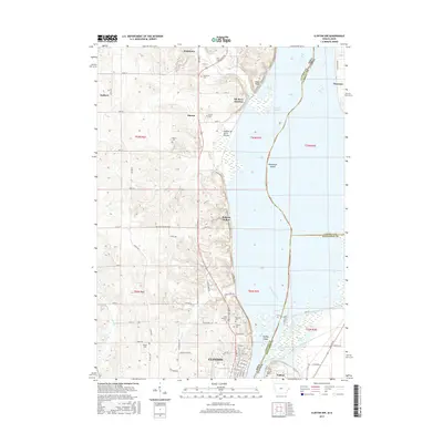
2015 Map of Clinton NW
USGS Topo · Published 2015About this map
The Mississippi River and its expansive wetlands dominate the eastern half of this landscape, where the Elk River Slough and Cattail Slough weave around landforms like Woodruffs Island and Stamps Island. On the Iowa side, the terrain rises from the riverbanks into a series of rolling uplands and hollows, including the notable Bulgers Hollow and the open stretch of Pomme de Terre Prairie. This area is characterized by a high density of small rural burial grounds, such as Hauntown, Smith Cem, and Wilson Cem, which reflect the long-standing agricultural communities of the region.
Find a feature on this map
73 named features on this map. Tap any name to fly to it.
Don’t see what you’re looking for? This feature index may not catch every label — zoom into the map to look around manually.
Map Details
Editions of this 2015 Clinton NW Map
This is the sole edition of this map. No revisions or reprints were ever made.
Other maps of this area

1891 · Clinton
USGS Topo · 1:62,500

1892 · Goose Lake
USGS Topo · 1:62,500

1892 · Savanna
USGS Topo · 1:62,500

1894 · Goose Lake
USGS Topo · 1:62,500

1894 · Clinton
USGS Topo · 1:62,500

1899 · Clinton
USGS Topo · 1:125,000

1935 · Miles
USGS Topo · 1:62,500

1941 · Miles
USGS Topo · 1:62,500

1952 · Clinton
USGS Topo · 1:62,500

1952 · Savanna
USGS Topo · 1:62,500