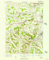
1955 Map of Clinton
USGS Topo · Published 1957About this map
Hamilton College dominates the central landscape of this mid-1950s survey, its campus and the nearby College Hill settlement perched above the Oriskany Creek valley. The map documents an era when traditional transit routes like the historic Seneca Turnpike and the New York Central railroad corridors intersected with the modern expansion of the New York State Thruway cutting across the northern reaches of Westmoreland.
Find a feature on this map
58 named features on this map. Tap any name to fly to it.
Don’t see what you’re looking for? This feature index may not catch every label — zoom into the map to look around manually.
Map Details
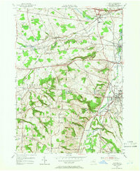
Editions of this 1955 Clinton Map
2 editions found
Other maps of this area

1895 · Oriskany
USGS Topo · 1:62,500

1895 · Oneida
USGS Topo · 1:62,500

1898 · Oneida
USGS Topo · 1:62,500

1898 · Oriskany
USGS Topo · 1:62,500

1902 · Morrisville
USGS Topo · 1:62,500

1902 · Oneida
USGS Topo · 1:62,500

1907 · Sangerfield
USGS Topo · 1:62,500

1939 · Oneida
USGS Topo · 1:62,500

1943 · Cassville
USGS Topo · 1:24,000

1943 · Sangerfield
USGS Topo · 1:62,500