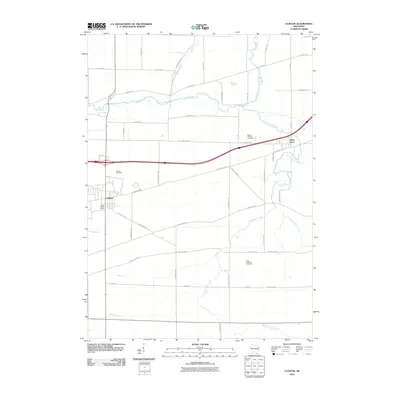
2010 Map of Clinton
USGS Topo · Published 2010About this map
Clinton serves as the primary population center in this part of Rock County, characterized by a grid-iron street pattern and the essential Clinton Water Works. The surrounding landscape is defined by an extensive network of waterways, including the meandering Turtle Creek to the north and the smaller Little Turtle Creek and Lodd Creek to the east. These stream valleys contrast with the surveyed regularity of the agricultural land and rural roads such as S Inman Rd and S Odling Rd.
Find a feature on this map
45 named features on this map. Tap any name to fly to it.
Don’t see what you’re looking for? This feature index may not catch every label — zoom into the map to look around manually.
Map Details
Editions of this 2010 Clinton Map
This is the sole edition of this map. No revisions or reprints were ever made.
Other maps of this area

1893 · Delavan
USGS Topo · 1:62,500

1893 · Shopiere
USGS Topo · 1:62,500

1918 · Belvidere
USGS Topo · 1:62,500

1932 · Harvard
USGS Topo · 1:48,000

1937 · Harvard
USGS Topo · 1:62,500

1944 · Belvidere
USGS Topo · 1:62,500

1954 · Rockford
USGS Topo · 1:250,000

1955 · Rockford
USGS Topo · 1:250,000

1958 · Rockford
USGS Topo · 1:250,000
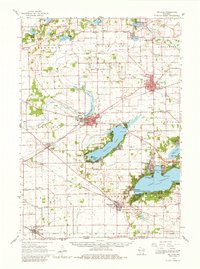
1960 · Delavan
USGS Topo · 1:62,500