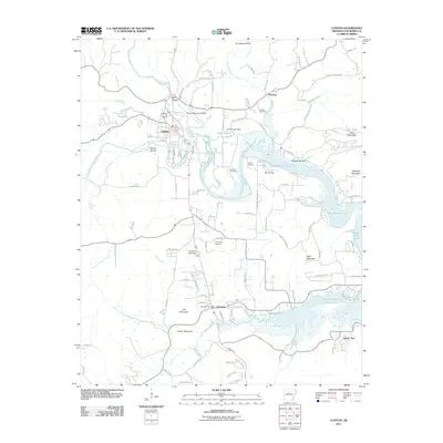
2011 Map of Clinton
USGS Topo · Published 2011About this map
The South Fork Little Red River and Archey Creek converge near the heart of Clinton, marking a landscape where water and topography dictate the human footprint. This 2011 survey illustrates the modern layout of the Van Buren county seat alongside its neighboring communities of Choctaw and Pee Dee. The map reveals a high concentration of cemeteries including Johnson Cemetery, Pee Dee Cemetery, and Hunter-Hill Cemetery, which serve as vital points of reference for genealogists. The northeastern reach of Greers Ferry Lake dominates the eastern half of the sheet, while various engineered structures like Clinton Lake Dam and Choctaw Lake Dam highlight the regional management of the watershed. Rising above the river valleys, named peaks such as Bald Mountain, Lick Mountain, and Cullum Mountain provide a clear view of the area's characteristic Ozark foothills relief.
Find a feature on this map
113 named features on this map. Tap any name to fly to it.
Don’t see what you’re looking for? This feature index may not catch every label — zoom into the map to look around manually.
Map Details
Editions of this 2011 Clinton Map
This is the sole edition of this map. No revisions or reprints were ever made.
Other maps of this area

1892 · Marshall
USGS Topo · 1:125,000

1892 · Mountain View
USGS Topo · 1:125,000

1892 · Morrillton
USGS Topo · 1:125,000

1894 · Mountain View
USGS Topo · 1:125,000

1894 · Morrillton
USGS Topo · 1:125,000

1894 · Marshall
USGS Topo · 1:125,000

1901 · Marshall
USGS Topo · 1:125,000

1956 · Russellville
USGS Topo · 1:250,000

1961 · Bee Branch
USGS Topo · 1:62,500

1961 · Bee Branch
USGS Topo · 1:24,000